Pointe-Saint-Charles, Montreal
Map
Facts and practical information
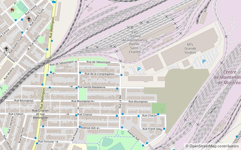
Pointe-Saint-Charles is a neighbourhood in the borough of Le Sud-Ouest in the city of Montreal, Quebec, Canada. Historically a working-class area, the creation of many new housing units, the recycling of industrial buildings into business incubators, lofts, and condos, the 2002 re-opening of the canal as a recreation and tourism area, the improvement of public spaces, and heritage enhancement have all helped transform the neighbourhood and attract new residents. Community groups continue to be pro-active in areas related to the fight against poverty and the improvement of living conditions. ()
Address
Le Sud-QuestMontreal
ContactAdd
Social media
Add
Getting there by public transportation
Public transportation stops near this location
- Metro
- Bus
- Train
 Metro
Metro
- Calculate routeLe Ber / de la Congrégation 1 min walk
- Calculate routeSainte-Madeleine / Le Ber 2 min walk
- Calculate routeCharon / Le Ber 4 min walk
- Calculate routede la Congrégation / Favard 4 min walk
- Calculate routeCharlevoix 21 min walk
- Calculate routeLaSalle 25 min walk
- Calculate routeGeorges-Vanier 32 min walk
- Calculate routeLucien L'Allier 33 min walk
- Calculate routeLucien-L'Allier 33 min walk
Maps Metro
Metro
MetroDay trips


Frequently Asked Questions (FAQ)
Which popular attractions are close to Pointe-Saint-Charles?
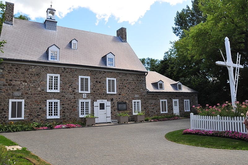
Nearby attractions include Goose Village, Montreal (7 min walk), Maison Saint-Gabriel, Montreal (10 min walk), Irish Commemorative Stone, Montreal (13 min walk), Wellington Street, Montreal (17 min walk).
How to get to Pointe-Saint-Charles by public transport?
The nearest stations to Pointe-Saint-Charles:
Bus
Metro
Train
Bus
- Le Ber / de la Congrégation • Lines: 57-E, 71-N (1 min walk)
- Sainte-Madeleine / Le Ber • Lines: 57-O, 71-S (2 min walk)
Metro
- Charlevoix • Lines: 1 (21 min walk)
- LaSalle • Lines: 1 (25 min walk)
Train
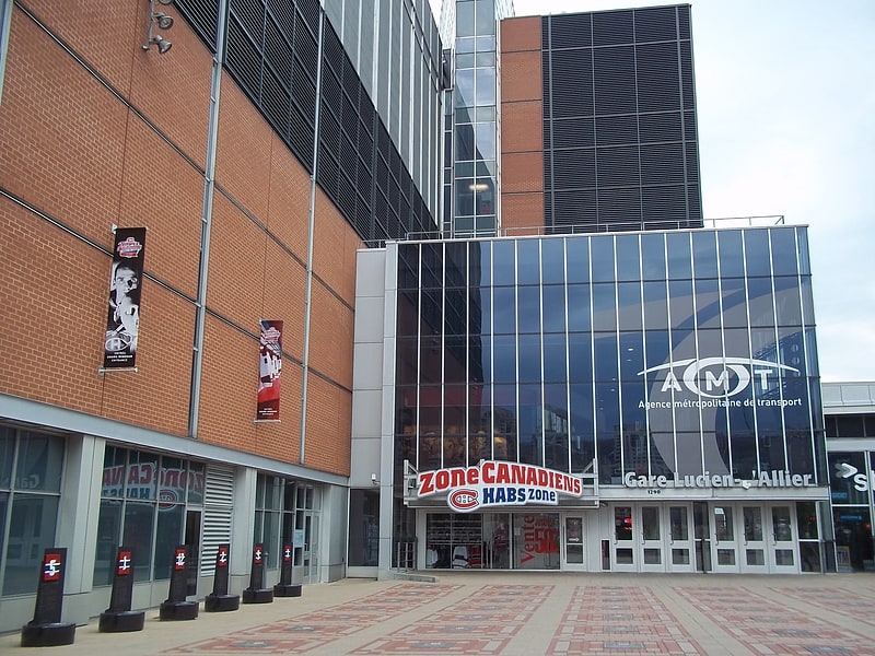
- Lucien-L'Allier (33 min walk)