Glanbrook, Hamilton
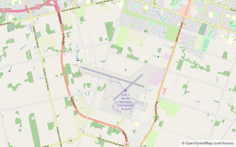
Map
Map

Facts and practical information
Glanbrook is the south-western district of the city of Hamilton, Ontario, Canada. It was first created as an independent township in 1974 through the amalgamation of Mount Hope, Binbrook, Glanford, and other nearby communities. In 2001, Glanbrook became a dissolved municipality after it was amalgamated with Hamilton, Stoney Creek, Dundas, Ancaster and Flamborough to become the present city of Hamilton. ()
Coordinates: 43°10'41"N, 79°55'55"W
Address
Rural GlanbrookHamilton
ContactAdd
Social media
Add
Day trips
Glanbrook – popular in the area (distance from the attraction)
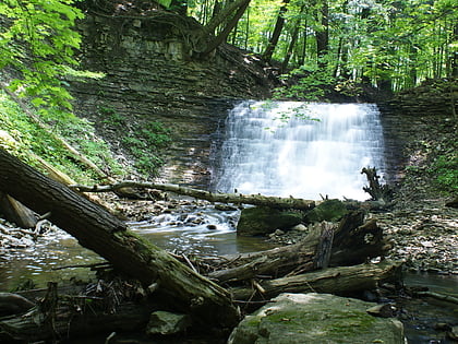
Nearby attractions include: Canadian Warplane Heritage Museum, Lime Ridge Mall, Tiffany Falls, Mill Falls.
Frequently Asked Questions (FAQ)
How to get to Glanbrook by public transport?
The nearest stations to Glanbrook:
Bus
Bus
- Airport Terminal • Lines: 20 (28 min walk)


