Ladysmith Harbour, Ladysmith
Map
Facts and practical information
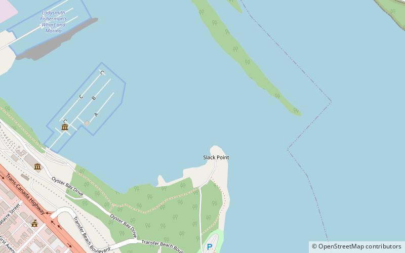
Ladysmith Harbour, originally Oyster Harbour, is a harbour adjoining the Town of Ladysmith on Vancouver Island, British Columbia. The Ladysmith area was originally known as Oyster Harbour when it came into use as a coaling port for the Dunsmuir-owned mine at Extension. ()
Coordinates: 48°59'46"N, 123°48'30"W
Address
Ladysmith
ContactAdd
Social media
Add
Day trips