Victoria West, Victoria
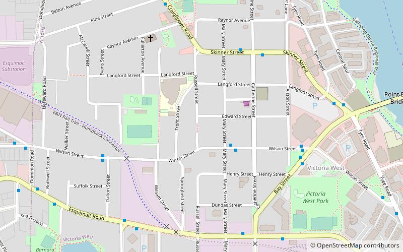
Map
Map

Facts and practical information
Victoria West, commonly called Vic West, is an historic neighbourhood of the city of Victoria, British Columbia, Canada, located just west of downtown across Victoria Harbour, bordering on the Township of Esquimalt. ()
Coordinates: 48°26'1"N, 123°23'13"W
Address
Victoria WestVictoria
ContactAdd
Social media
Add
Day trips
Victoria West – popular in the area (distance from the attraction)
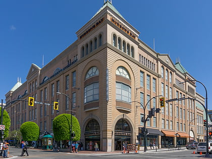
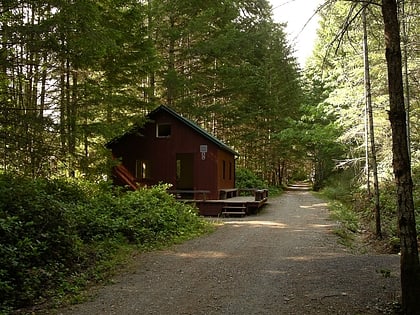
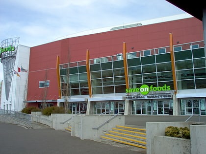
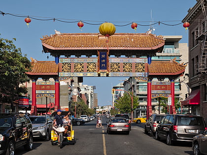
Nearby attractions include: The Bay Centre, Galloping Goose Regional Trail, Save-On-Foods Memorial Centre, Gate of Harmonious Interest.
Frequently Asked Questions (FAQ)
Which popular attractions are close to Victoria West?
Nearby attractions include 223 Robert Street, Victoria (8 min walk), Point Ellice Bridge disaster, Victoria (11 min walk), Point Ellice House and Gardens, Victoria (13 min walk), Victoria City, Victoria (21 min walk).
How to get to Victoria West by public transport?
The nearest stations to Victoria West:
Bus
Ferry
Bus
- Wilson at Mary • Lines: 24 (2 min walk)
- Skinner at Catherine • Lines: 14 (5 min walk)
Ferry
- Victoria • Lines: Seattle-Victoria, Victoria - Port Angeles (28 min walk)

