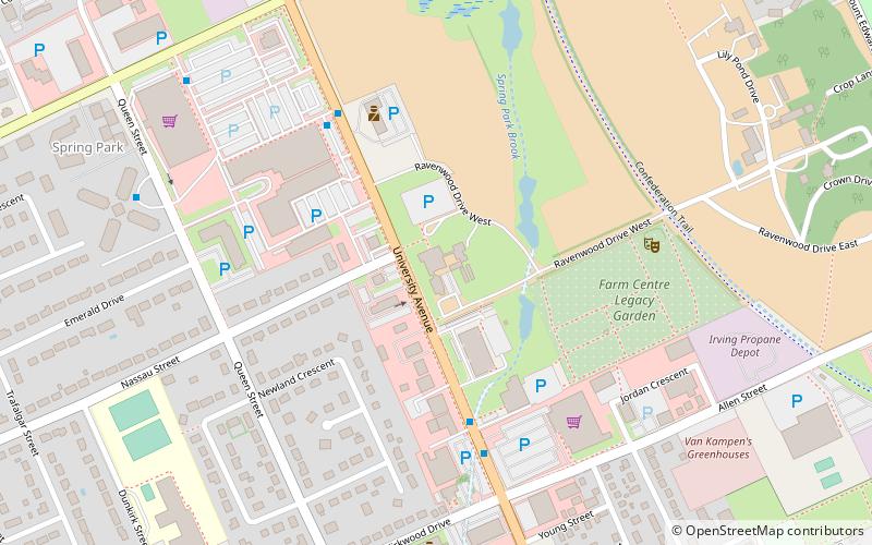
Charlottetown Research and Development Centre, Charlottetown

Map
Facts and practical information
Charlottetown Research and Development Centre is a research facility that falls under the Agriculture and Agri-Food Canada umbrella. The centre was founded in 1909 and focuses on research to enhance environmentally sustainable crop production systems of the Atlantic regions. ()
Coordinates: 46°14'54"N, 63°8'9"W
Address
Spring ParkCharlottetown
ContactAdd
Social media
Add
Day trips
Charlottetown Research and Development Centre – popular in the area (distance from the attraction)
Nearby attractions include: Charlottetown Boulder Park, Province House, St. Dunstan's Basilica, Confederation Centre of the Arts.
Frequently Asked Questions (FAQ)
Which popular attractions are close to Charlottetown Research and Development Centre?
Nearby attractions include Robertson Library, Charlottetown (13 min walk), Maritime Christian College, Charlottetown (14 min walk), Charlottetown-Brighton, Charlottetown (17 min walk), University of Prince Edward Island, Charlottetown (20 min walk).


