Trek Zone

Kingston and the Islands, Kingston
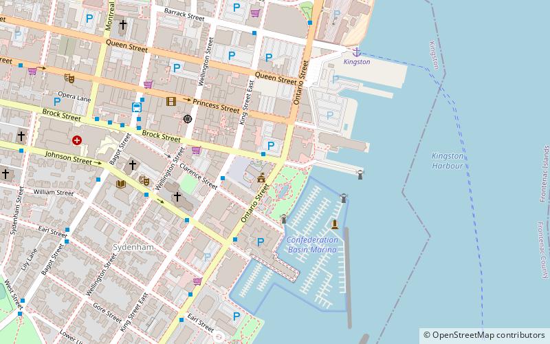
#57 among attractions in Kingston

Neighbourhood
Kingston and the Islands location map
Map

Facts and practical information

Coordinates: 44°13'48"N, 76°28'48"W
Address

Downtown KingstonKingston Canada

ContactAdd
Social media
Add
Day trips

Kingston and the Islands – popular in the area (distance from the attraction)

Nearby attractions include: Rogers K-Rock Centre, Murney Tower, Kingston Memorial Centre, Royal Military College of Canada Museum.

  • rogers k rock centre kingston~1210 ftN
  • murney tower kingston0.7 miSW
  • kingston memorial centre1.2 miNW
  • royal military college of canada museum kingston0.5 miE
  • st georges cathedral kingston~810 ftW
  • fort frederick kingston0.5 miE
  • kingston city hall~110 ftW
  • princess street kingston1.4 miNW
  • marine museum of the great lakes kingston~1900 ftS
  • st andrews presbyterian church kingston0.5 miW
  • st marys cathedral kingston0.5 miW

Frequently Asked Questions (FAQ)

Which popular attractions are close to Kingston and the Islands?

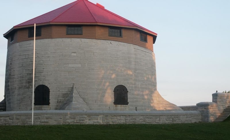
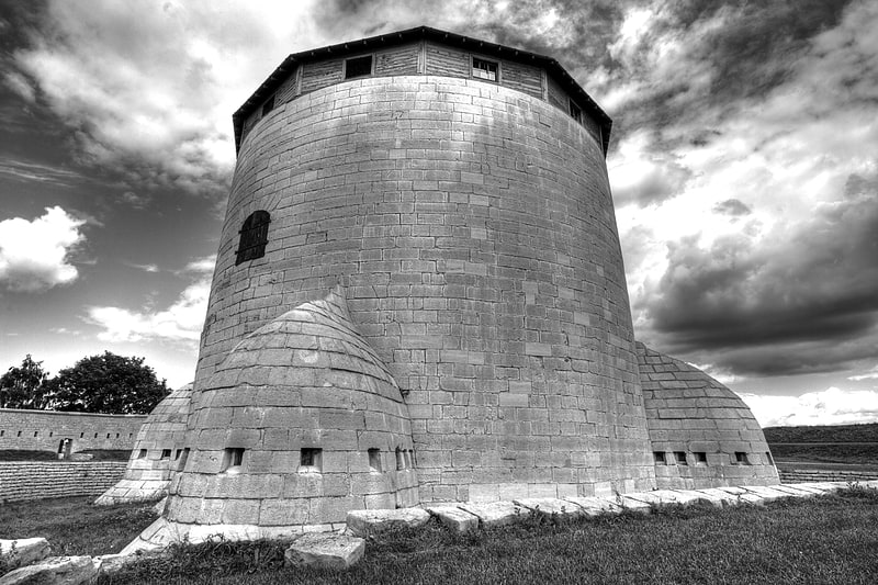
Nearby attractions include Kingston City Hall, Kingston (1 min walk), Shoal Tower, Kingston (4 min walk), St. George's Cathedral, Kingston (4 min walk), Fort Frontenac Library, Kingston (7 min walk).

Where to next? Visit ontario Ontario region page or discover the top tourist attractions in Canada.