Longueuil—Charles-LeMoyne, Longueuil
Map
Facts and practical information
Longueuil—Charles-LeMoyne is a federal electoral district in Quebec, Canada, that has been represented in the House of Commons of Canada since 2015. It encompasses a portion of Quebec formerly included in the electoral districts of Saint-Bruno—Saint-Hubert and Saint-Lambert. ()
Coordinates: 45°32'30"N, 73°26'30"W
Address
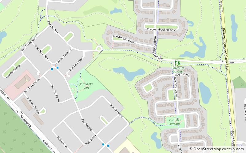
Du Boisé du TremblayLongueuil
ContactAdd
Social media
Add
Getting there by public transportation
Public transportation stops near this location
- Bus
 Bus
Bus
- Calculate routech. du Tremblay / face au CFP Pierre-Dupuy 30 min walk
Day trips

Frequently Asked Questions (FAQ)
Which popular attractions are close to Longueuil—Charles-LeMoyne?
Nearby attractions include Longueuil—Saint-Hubert, Longueuil (1 min walk), Boisé du Tremblay, Longueuil (15 min walk).
How to get to Longueuil—Charles-LeMoyne by public transport?
The nearest stations to Longueuil—Charles-LeMoyne:
Bus
Bus
- ch. du Tremblay / face au CFP Pierre-Dupuy • Lines: 330 N, 330 S (30 min walk)