Park Extension, Montreal
Map

Map

Facts and practical information
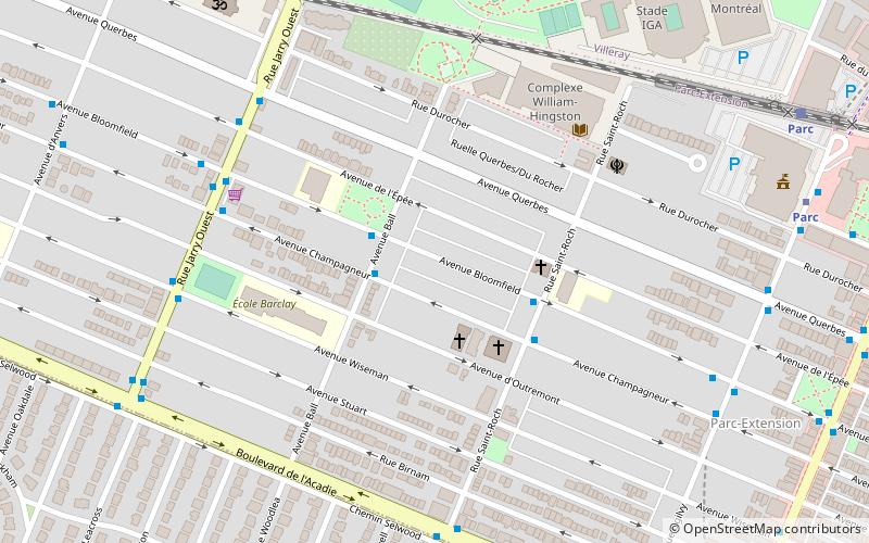
Park Extension is a neighbourhood in the city of Montréal, Québec. It is located in the borough of Villeray–Saint-Michel–Parc-Extension and has a population of 33,800 and an area of 1.6 km². The name derives from the fact that it is situated at the north end of Park Avenue and is literally an "extension" of the artery. The area is known by locals as "Park Ex." ()
Area: 0.62 mi²Coordinates: 45°31'46"N, 73°37'55"W
Address
Villeray-Saint-Michel-Parc-Extension (Crémazie)Montreal
ContactAdd
Social media
Add
Day trips
Park Extension – popular in the area (distance from the attraction)
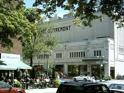
Nearby attractions include: Centre Rockland, Stade IGA, Théâtre Outremont, Church of the Madonna della Difesa.
Frequently Asked Questions (FAQ)
Which popular attractions are close to Park Extension?
Nearby attractions include Stade IGA, Montreal (9 min walk), Jarry Park, Montreal (12 min walk), Little Italy, Montreal (17 min walk), Marché Jean Talon, Montreal (24 min walk).
How to get to Park Extension by public transport?
The nearest stations to Park Extension:
Bus
Metro
Train
Bus
- Champagneur / Ball • Lines: 179-N, 80-N (2 min walk)
- Bloomfield / Ball • Lines: 179-S, 80-S (2 min walk)
Metro
- Parc • Lines: 5 (10 min walk)
- Acadie • Lines: 5 (15 min walk)
Train
- Parc (10 min walk)
- Canora (28 min walk)

 Metro
Metro


