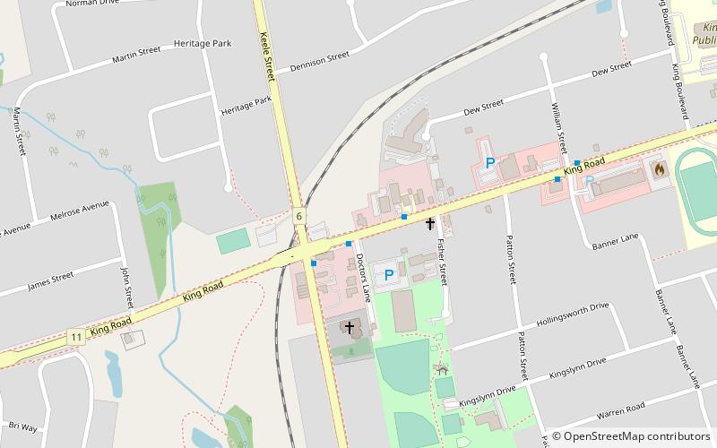
Oak Ridges—Markham, King City

Map
Facts and practical information
Oak Ridges—Markham was a federal electoral district in Ontario, Canada, that was represented in the House of Commons of Canada from 2004 to 2015. Its population in 2006 was 169,645. with 136,755 electors, the highest of any riding in Canada. By 2011, the riding's population had risen to 228,997, the largest population of all ridings in Canada. ()
Area: 262.51 mi²Coordinates: 43°55'45"N, 79°31'37"W
Address
Rural King (King City)King City
ContactAdd
Social media
Add
Day trips
Oak Ridges—Markham – popular in the area (distance from the attraction)
Nearby attractions include: King Heritage & Cultural Centre, Oak Ridges Trail Association, All Saints Church, King Township Public Library.
Frequently Asked Questions (FAQ)
Which popular attractions are close to Oak Ridges—Markham?
Nearby attractions include All Saints Church, King City (4 min walk), King Township Public Library, King City (13 min walk).


