Fraser Heights, Surrey
Map
Facts and practical information
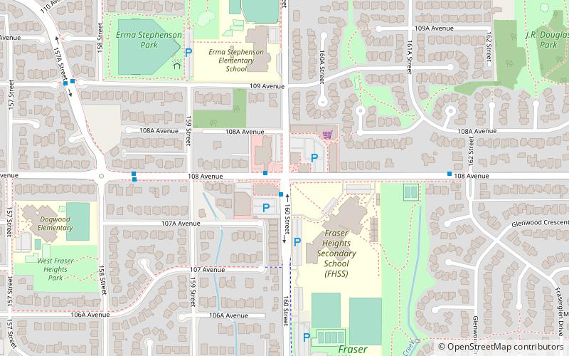
Fraser Heights is a neighbourhood of Guildford, a town centre in the city of Surrey, British Columbia. Bounded by Highway 1 to the south, Highway 15 to the east and the Fraser River to the north, with most homes having a view of the Fraser River and Coquitlam mountain. ()
Coordinates: 49°11'56"N, 122°46'43"W
Address
GuildfordSurrey
ContactAdd
Social media
Add
Getting there by public transportation
Public transportation stops near this location
- Bus
 Bus
Bus
- Calculate route160 St at 108 Ave 1 min walk
- Calculate route108 Ave at 162 St 6 min walk
Day trips


Frequently Asked Questions (FAQ)
How to get to Fraser Heights by public transport?
The nearest stations to Fraser Heights:
Bus
Bus
- 160 St at 108 Ave • Lines: 337 (1 min walk)
- 108 Ave at 162 St • Lines: 337 (6 min walk)