Fairfield Island, Chilliwack
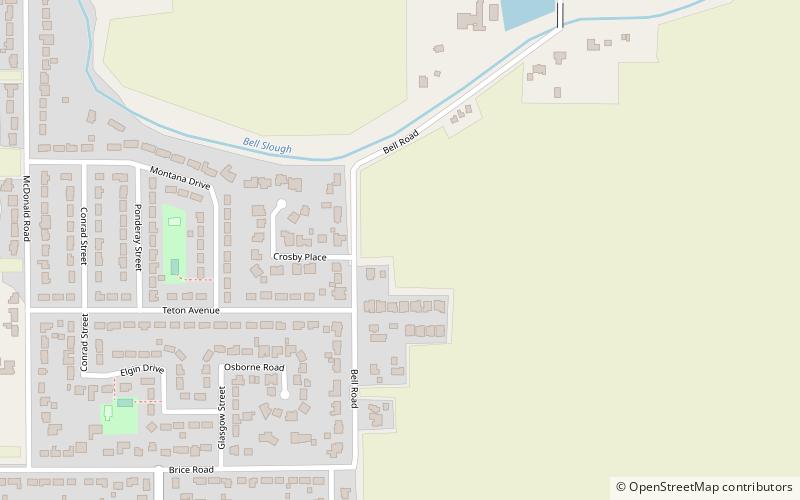
Map
Facts and practical information
Fairfield Island is a residential and rural suburb of Chilliwack, British Columbia. Bounded by the Bell Slough and the Fraser River to the north, and the Hope Slough to the south, it is the northernmost neighbourhood in Chilliwack. ()
Coordinates: 49°11'39"N, 121°55'48"W
Address
Northside (Camp River)Chilliwack
ContactAdd
Social media
Add
Day trips
Fairfield Island – popular in the area (distance from the attraction)
Nearby attractions include: Kilby Provincial Park, Chilliwack Museum, Lake Errock, Chilliwack Cultural Centre.


