Mississauga East—Cooksville, Mississauga

Map
Facts and practical information
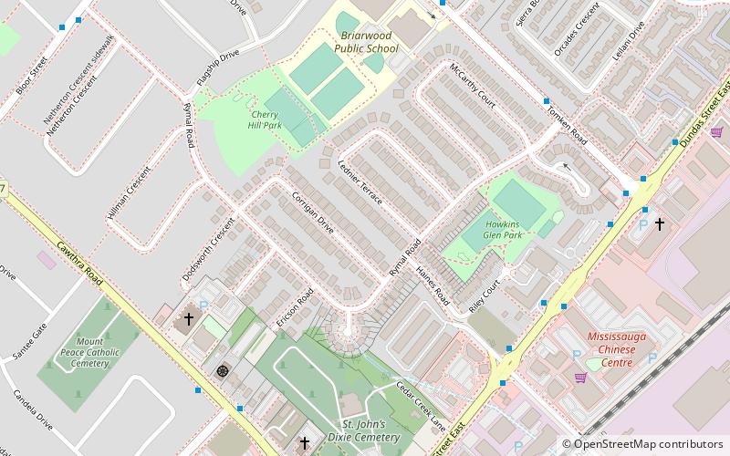
Mississauga East—Cooksville is a federal electoral district in Ontario, Canada, that has been represented in the House of Commons of Canada since 2004. ()
Coordinates: 43°35'60"N, 79°35'60"W
Address
ApplewoodMississauga
ContactAdd
Social media
Add
Day trips
Mississauga East—Cooksville – popular in the area (distance from the attraction)
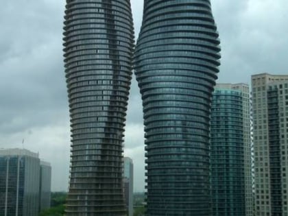
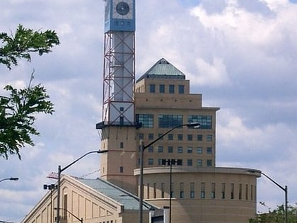
Nearby attractions include: Square One, Dixie Outlet Mall, Toronto Golf Club, Sherway Gardens.
Frequently Asked Questions (FAQ)
How to get to Mississauga East—Cooksville by public transport?
The nearest stations to Mississauga East—Cooksville:
Bus
Train
Bus
- Haines Road • Lines: 1 (6 min walk)
- Tomken Road • Lines: 1 (9 min walk)
Train
- Dixie (32 min walk)


