Glover's Falls, Hamilton
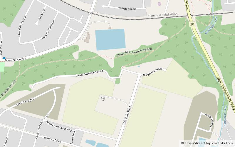
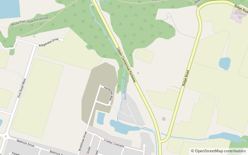
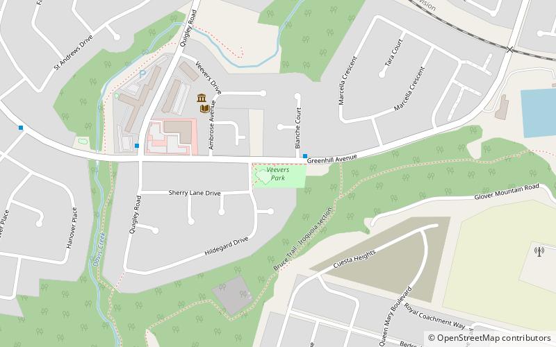
Map

Map

Facts and practical information
The city of Hamilton in Ontario, Canada is home to more than 100 waterfalls and cascades, most of which are on or near the Bruce Trail as it winds through the Niagara Escarpment. Ontario's internationally recognized Niagara Escarpment provides perfect geological conditions for waterfalls to occur, from Tobermory to Niagara Falls. ()
Coordinates: 43°12'32"N, 79°46'27"W
Address
Stoney Creek MountainHamilton
ContactAdd
Social media
Add
Day trips
Glover's Falls – popular in the area (distance from the attraction)
Nearby attractions include: Devil's Punch Bowl, Battlefield House, Felker's Falls, Little Davis Falls.
Frequently Asked Questions (FAQ)
Which popular attractions are close to Glover's Falls?
Nearby attractions include CHCH Television Tower, Hamilton (3 min walk), Centennial Falls, Hamilton (8 min walk), Billy Green Falls, Hamilton (11 min walk), Veever's Falls, Hamilton (12 min walk).
How to get to Glover's Falls by public transport?
The nearest stations to Glover's Falls:
Bus
Bus
- Jones at King • Lines: 5 (30 min walk)


