Walter B. Elliott Causeway, New World Island
Map

Map

Facts and practical information
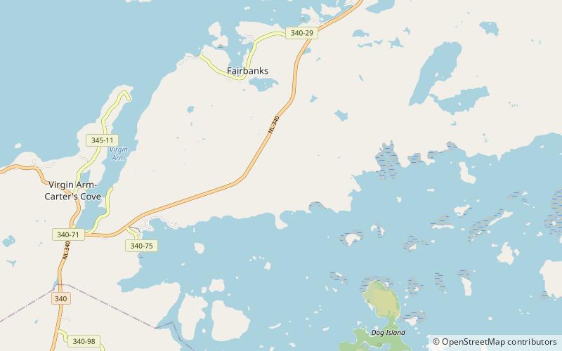
The Walter B. Elliott Causeway is a causeway built in 1973 that connects South Twillingate Island with the rest of Newfoundland. It is part of Route 340. Prior to the causeway, residents used a ferry service to travel between the Twillingate Islands and mainland Newfoundland. ()
Coordinates: 49°35'56"N, 54°41'42"W
Address
New World Island
ContactAdd
Social media
Add
Day trips
Walter B. Elliott Causeway – popular in the area (distance from the attraction)
Nearby attractions include: Twillingate, Durrell, Dildo Run Provincial Park.


