McTavish Street, Montreal
Map
Facts and practical information
McTavish Street is a street in the Golden Square Mile of Montreal, Quebec, Canada. It is named for Simon McTavish, whose estate once covered the land about it. The street runs up the slope of Mount Royal, from Sherbrooke Street at its southern end, to Pine Avenue, where its end is marked by Sir Hugh Allan's former home, Ravenscrag. ()
Coordinates: 45°30'14"N, 73°34'42"W
Address
Ville-Marie DistrictMontreal
ContactAdd
Social media
Add
Getting there by public transportation
Public transportation stops near this location
- Metro
- Bus
- Train
 Metro
Metro
- Calculate routePeel / du Docteur-Penfield 2 min walk
- Calculate routedu Docteur-Penfield / Peel 2 min walk
- Calculate routedu Docteur-Penfield / Réservoir McTavish 3 min walk
- Calculate routeSherbrooke / Mansfield 4 min walk
- Calculate routePeel 8 min walk
- Calculate routeMcGill 9 min walk
- Calculate routePlace-des-Arts 15 min walk
- Calculate routeGuy-Concordia 16 min walk
- Calculate routeMontreal Central Station 16 min walk
- Calculate routeLucien-L'Allier 20 min walk
Maps Metro
Metro
MetroDay trips


Frequently Asked Questions (FAQ)
Which popular attractions are close to McTavish Street?
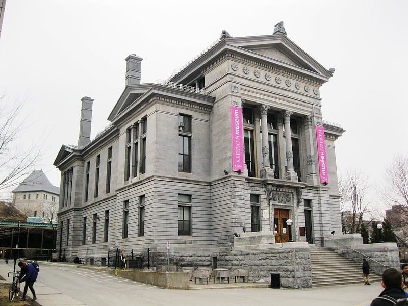
Nearby attractions include Islamic Studies Library, Montreal (1 min walk), Redpath Hall, Montreal (2 min walk), Redpath Museum, Montreal (2 min walk), The Three Graces, Montreal (3 min walk).
How to get to McTavish Street by public transport?
The nearest stations to McTavish Street:
Bus
Metro
Train
Bus
- Peel / du Docteur-Penfield • Lines: 107-N, 107-S (2 min walk)
- du Docteur-Penfield / Peel • Lines: 144-E (2 min walk)
Metro
- Peel • Lines: 1 (8 min walk)
- McGill • Lines: 1 (9 min walk)
Train
- Montreal Central Station (16 min walk)
- Lucien-L'Allier (20 min walk)