Downtown Vancouver, Vancouver
Map
Gallery
Facts and practical information
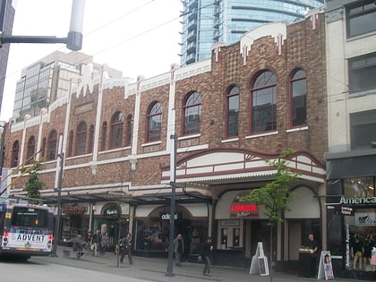
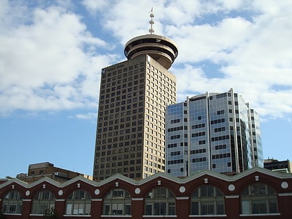
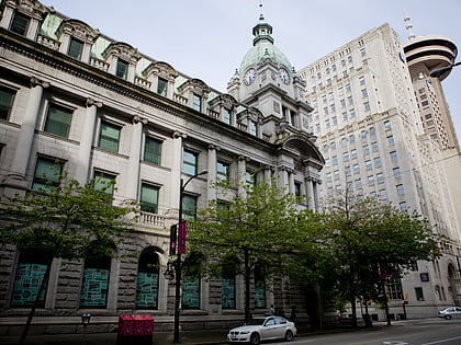
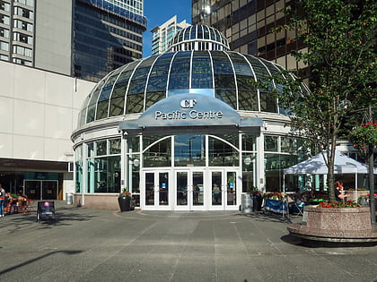
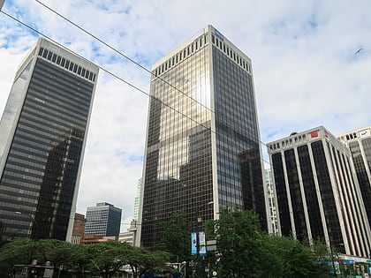
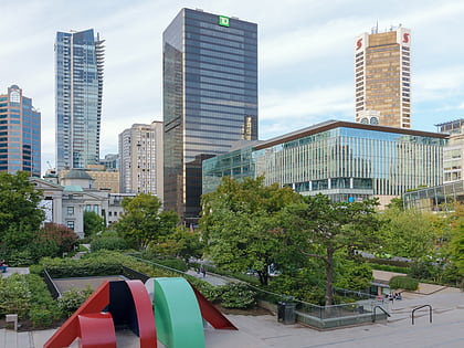
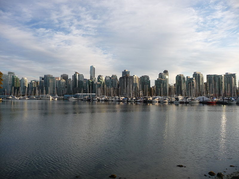
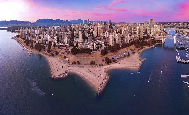
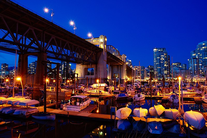
Downtown Vancouver is the main central business district and the city center neighbourhood of Metro Vancouver, located on the northwestern shore of the Burrard Peninsula in the Lower Mainland region of British Columbia. The Downtown occupies most of the north shore of the False Creek inlet, which incises into the Burrard Peninsula creating the namesaked Downtown Peninsula, where the West End neighbourhood and Stanley Park are also located. ()
Day trips
Downtown Vancouver – popular in the area (distance from the attraction)
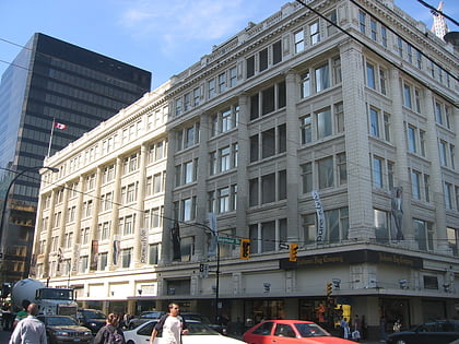
Nearby attractions include: Commodore Ballroom, Harbour Centre, Vancouver Art Gallery, Sinclair Centre.
Frequently Asked Questions (FAQ)
Which popular attractions are close to Downtown Vancouver?
Nearby attractions include HSBC Canada Building, Vancouver (2 min walk), Dunsmuir Tunnel, Vancouver (3 min walk), Chali-Rosso Art Gallery, Vancouver (3 min walk), Vancouver Art Gallery, Vancouver (3 min walk).
How to get to Downtown Vancouver by public transport?
The nearest stations to Downtown Vancouver:
Trolleybus
Bus
Metro
Train
Ferry
Trolleybus
- Granville St at Dunsmuir St • Lines: 10, 14, 16, 17, 20, 4, 7 (2 min walk)
- Granville St at West Georgia St • Lines: 10, 14, 16, 4, 7 (2 min walk)
Bus
- Granville St at Dunsmuir St • Lines: 50 (2 min walk)
- West Georgia St at Granville St • Lines: 240, 246, 250, 257 (2 min walk)
Metro
- Granville • Lines: Expo Line (3 min walk)
- Vancouver City Centre • Lines: Canada Line (3 min walk)
Train
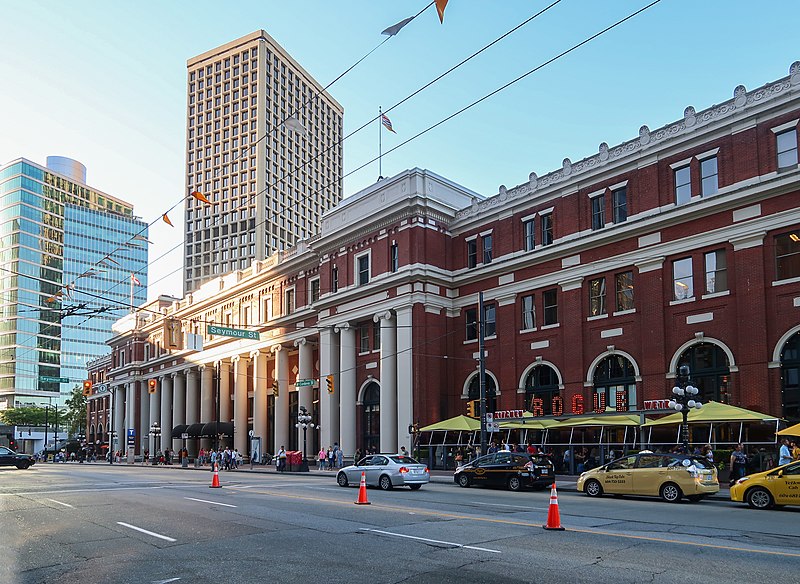
- Waterfront (9 min walk)
- Vancouver Pacific Central (29 min walk)
Ferry
- Waterfront • Lines: SeaBus (12 min walk)
- Plaza of Nations Dock • Lines: Aquabus, False Creek Ferries Route 3 (19 min walk)



 SkyTrain