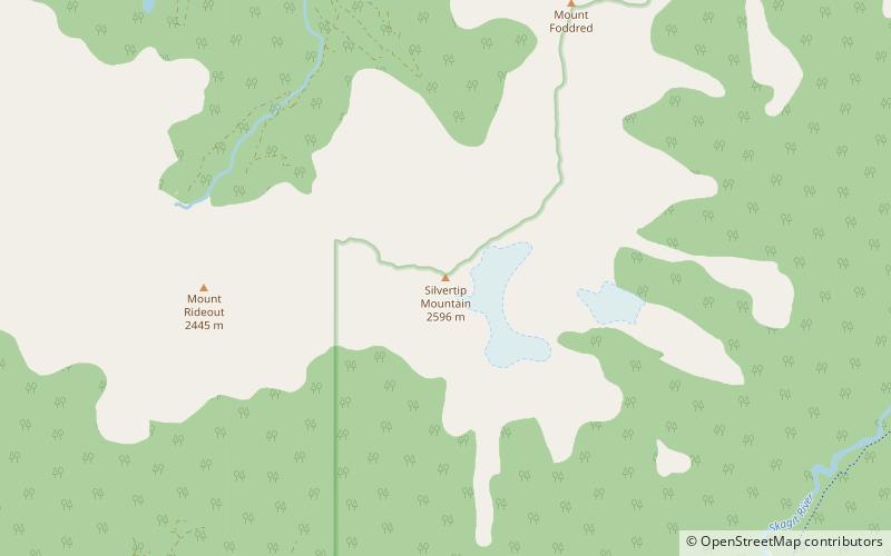
Silvertip Mountain, Skagit Valley Provincial Park
Map

Map

Facts and practical information
Silvertip Mountain is an 2,596 m peak in the Canadian Cascades south of Hope, British Columbia. It lies on the northern boundary of Skagit Valley Provincial Park. With a prominence of 1,871 m, it is one of the fifty most prominent peaks in Canada. The mountain's name was officially adopted on December 2, 1948, by the Geographical Names Board of Canada. The peak was first climbed in 1908 by a Boundary Survey party. ()
Coordinates: 49°9'46"N, 121°12'58"W
Address
Skagit Valley Provincial Park
ContactAdd
Social media
Add
