Oakville Armoury, Oakville

Map
Facts and practical information
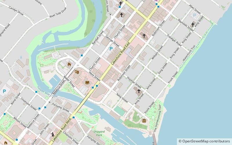
Oakville Armoury is a Canadian Department of National Defence facility located at 90 Thomas Street in Oakville, Ontario. The nearest major intersection is Lakeshore Rd and Trafalgar Rd. It is the home of 'A' company, The Lorne Scots and the 1188 Lorne Scots Royal Canadian Army Cadet Corps. ()
Completed: 1924 (102 years ago)Coordinates: 43°26'40"N, 79°40'8"W
Address
Old OakvilleOakville
ContactAdd
Social media
Add
Day trips
Oakville Armoury – popular in the area (distance from the attraction)
Nearby attractions include: Knox Presbyterian Church, Oakville Place, Oakville Museum, Turner Chapel.
Frequently Asked Questions (FAQ)
Which popular attractions are close to Oakville Armoury?
Nearby attractions include Oakville Centre for the Performing Arts, Oakville (4 min walk), Knox Presbyterian Church, Oakville (5 min walk), Oakville Museum, Oakville (8 min walk), Turner Chapel, Oakville (9 min walk).
How to get to Oakville Armoury by public transport?
The nearest stations to Oakville Armoury:
Train
Bus
Train
- Oakville (26 min walk)
Bus
- Oakville GO • Lines: 18B, 18C, 18F, 18G, 18H (27 min walk)


