South Surrey, Surrey
Map
Gallery
Facts and practical information
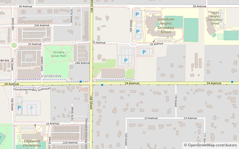
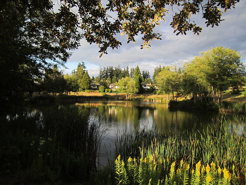
South Surrey is a community within the City of Surrey, British Columbia, located on the Semiahmoo peninsula in the southern portion of the city of Surrey, sharing a border with the city of White Rock. Neighbourhoods of South Surrey include Crescent Beach, Crescent Heights, Elgin, Chantrell Creek, Morgan Creek, Grandview Heights, Hazelmere, Ocean Park, and Sunnyside. Most of South Surrey lies in White Rock's. population centre. ()
Coordinates: 49°2'44"N, 122°46'45"W
Address
South Surrey (Highway 99 Corridor)Surrey
ContactAdd
Social media
Add
Day trips
South Surrey – popular in the area (distance from the attraction)
Nearby attractions include: Semiahmoo Shopping Centre, Grandview Heights Aquatic Centre, Darts Hill Garden Park, Jessie Lee Elementary.
Frequently Asked Questions (FAQ)
How to get to South Surrey by public transport?
The nearest stations to South Surrey:
Bus
Bus
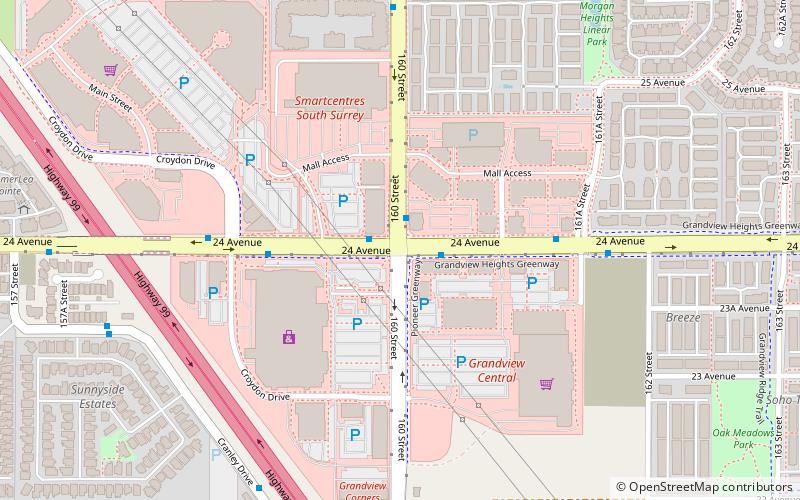
- 24 Ave at 160 St • Lines: 354, 363, 531 (1 min walk)
- 160 St at 24 Ave • Lines: 354, 363 (1 min walk)


