Lonsdale Tunnel, North Vancouver

Map
Facts and practical information
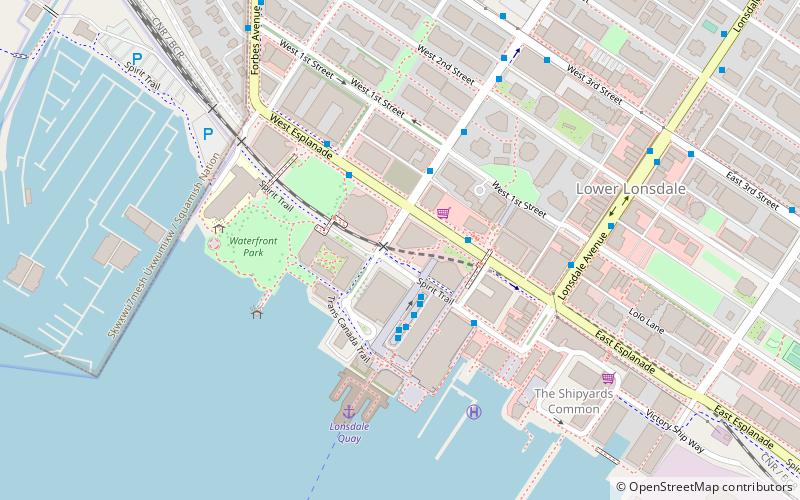
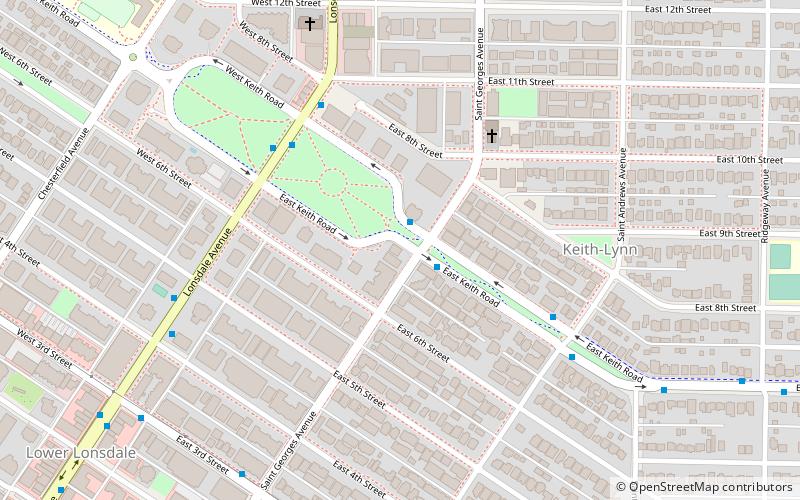
The Lonsdale Tunnel is a freight railway tunnel in North Vancouver, British Columbia, running under Lonsdale Avenue and parallel to Esplanade Ave between St. Georges and Chesterfield Ave. ()
Coordinates: 49°18'42"N, 123°4'58"W
Address
North Vancouver (Lower Lonsdale)North Vancouver
ContactAdd
Social media
Add
Day trips
Lonsdale Tunnel – popular in the area (distance from the attraction)
Nearby attractions include: Lonsdale Quay Market, Capilano Mall, The Polygon Gallery, Gordon Smith Gallery of Canadian Art.
Frequently Asked Questions (FAQ)
Which popular attractions are close to Lonsdale Tunnel?
Nearby attractions include Lonsdale Quay Market, North Vancouver (3 min walk), The Polygon Gallery, North Vancouver (4 min walk), First Church of Christ, North Vancouver (16 min walk).
How to get to Lonsdale Tunnel by public transport?
The nearest stations to Lonsdale Tunnel:
Bus
Ferry
Bus
- Lonsdale Quay Bay 5 • Lines: 249 (2 min walk)
- Lonsdale Quay Bay 4 • Lines: 228, 229, 230, 236, 249 (2 min walk)
Ferry
- Lonsdale Quay • Lines: SeaBus (5 min walk)


