Trek Zone

St. Saviour's Anglican Church, Clarington

#2 among attractions in Clarington

Church
St. Saviour's Anglican Church location map
Map

Facts and practical information
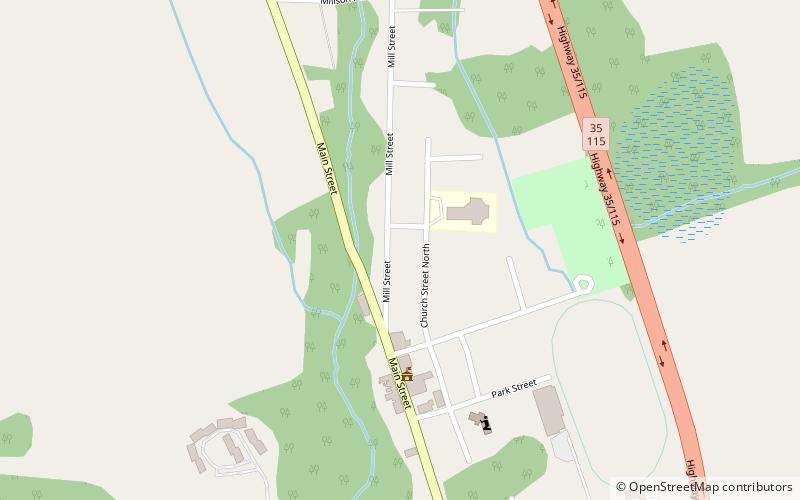
Coordinates: 43°58'45"N, 78°37'2"W
Address

Rural Clarington (Orono)Clarington Canada

ContactAdd
Social media
Add
Day trips

St. Saviour's Anglican Church – popular in the area (distance from the attraction)

Nearby attractions include: Jungle Cat World, Bowmanville Zoo, Clarington Museums, Cream of Barley Mill.

  • jungle cat world1.1 miNE
  • bowmanville zoo5.2 miSW
  • clarington museums5.7 miSW
  • cream of barley mill bowmanville5.8 miSW
  • newcastle memorial arena4.7 miS
  • a gift of art newcastle4.5 miS
  • kirby clarington location map
    2.3 miN
  • wilmot creek clarington location map
    5.5 miS
  • united counties of northumberland and durham clarington location map
    1.7 miNE
  • canadian tire motorsport park5.7 miNW

Where to next? Visit ontario Ontario region page or discover the top tourist attractions in Canada.