Cloverdale Learning Centre, Surrey
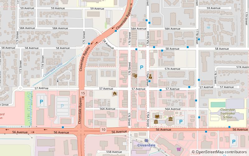
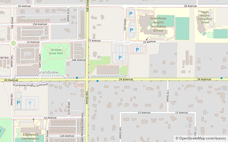
Map
Facts and practical information
Cloverdale Learning Centre is a public high school in Surrey, British Columbia part of School District 36 Surrey. It is a school providing an alternative schooling option, It is for students that struggle in or were removed from Mainstream schools. ()
Coordinates: 49°6'23"N, 122°44'7"W
Address
5754 176 StCloverdale (Cloverdale Town Centre)Surrey
Contact
+1 604-574-1111
Social media
Add
Day trips
Cloverdale Learning Centre – popular in the area (distance from the attraction)
Nearby attractions include: Willowbrook Shopping Centre, Langley Events Centre, Canadian Museum of Flight, Eaglequest Coyote Creek Golf.
Frequently Asked Questions (FAQ)
How to get to Cloverdale Learning Centre by public transport?
The nearest stations to Cloverdale Learning Centre:
Bus
Train
Bus
- 176A St at 57 Ave • Lines: 370 (2 min walk)
- 57 Ave at 176A St • Lines: 370 (4 min walk)
Train
- Cloverdale (6 min walk)

