Charlottetown-Brighton, Charlottetown

Map
Facts and practical information
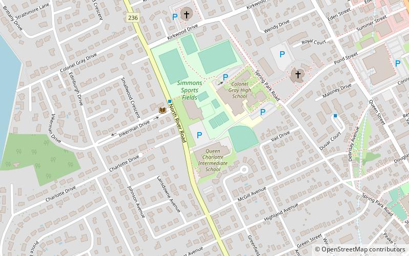
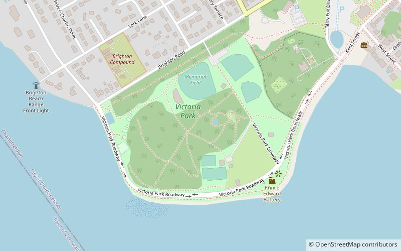
Charlottetown-Brighton is a provincial electoral district for the Legislative Assembly of Prince Edward Island, Canada. It was formerly named Charlottetown-Rochford Square from 1996 to 2007. ()
Coordinates: 46°14'24"N, 63°8'31"W
Address
Spring ParkCharlottetown
ContactAdd
Social media
Add
Day trips
Charlottetown-Brighton – popular in the area (distance from the attraction)
Nearby attractions include: Charlottetown Boulder Park, Province House, St. Dunstan's Basilica, Confederation Centre of the Arts.
Frequently Asked Questions (FAQ)
Which popular attractions are close to Charlottetown-Brighton?
Nearby attractions include St. Peter's Cathedral, Charlottetown (16 min walk), All Souls' Chapel, Charlottetown (16 min walk), Charlottetown City Hall, Charlottetown (18 min walk), The Bog, Charlottetown (18 min walk).


