Point Mckay, Calgary
Map
Facts and practical information
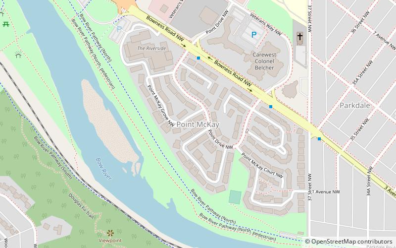
Point Mckay is a residential neighbourhood in the northwest quadrant of Calgary, Alberta. It is bounded to the north by Bowness Road and to the south by the Bow River. Edworthy Park is located across the river, and is connected by a bridge to Point Mckay. ()
Area: 74.13 acres (0.1158 mi²)Coordinates: 51°3'37"N, 114°8'46"W
Address
Northwest Calgary (Point McKay)Calgary
ContactAdd
Social media
Add
Getting there by public transportation
Public transportation stops near this location
- Bus
 Bus
Bus
- Calculate routeFoothills Hospital 18 min walk
- Calculate routeAHS Staff Shuttle 22 min walk
- Calculate routeFoothills Medical Centre 24 min walk
- Calculate routeAlberta Children's Hospital Station SB 27 min walk
Day trips


Frequently Asked Questions (FAQ)
Which popular attractions are close to Point Mckay?
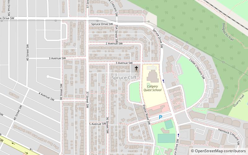
Nearby attractions include Edworthy Park, Calgary (17 min walk), St. Andrews Heights, Calgary (19 min walk), Spruce Cliff, Calgary (21 min walk).
How to get to Point Mckay by public transport?
The nearest stations to Point Mckay:
Bus
Bus
- Foothills Hospital (18 min walk)
- AHS Staff Shuttle (22 min walk)