Mamquam Icefield, Garibaldi Provincial Park

Map
Facts and practical information
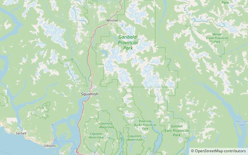
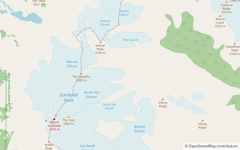
The Mamquam Icefield is an icefield in southwestern British Columbia, Canada, located at the headwaters of Skookum Creek. It lies at the southern end of Garibaldi Provincial Park and is one of the southernmost icefields in the Pacific Ranges of the Coast Mountains. The highest summit of the icefield is Mamquam Mountain, located at its southern end with an elevation of 2,588 m. ()
Coordinates: 49°47'31"N, 122°51'6"W
Address
Garibaldi Provincial Park
ContactAdd
Social media
Add
Day trips
Mamquam Icefield – popular in the area (distance from the attraction)
Nearby attractions include: Opal Cone, Mamquam Mountain, Glacier Pikes.


