Kildonan—St. Paul, Winnipeg
Map
Facts and practical information
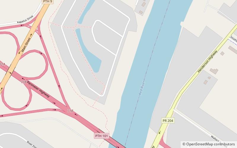
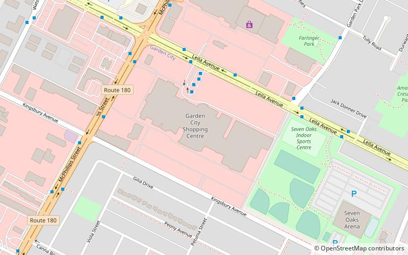
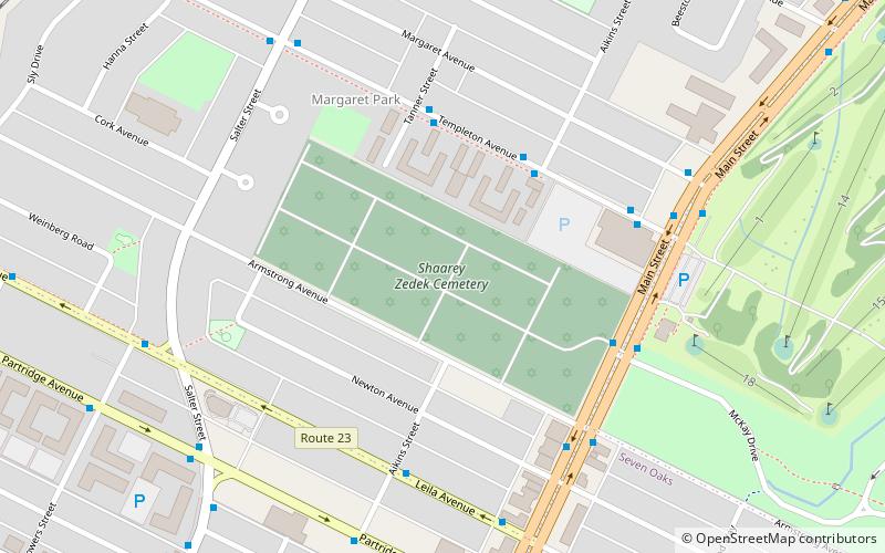
Kildonan—St. Paul is a federal electoral district in the Winnipeg Capital Region of Manitoba, Canada. It has been represented in the House of Commons of Canada since 2004. ()
Coordinates: 49°58'19"N, 97°3'58"W
Address
Winnipeg
ContactAdd
Social media
Add
Getting there by public transportation
Public transportation stops near this location
- Bus
 Bus
Bus
- Calculate routeSouthbound Glenway at Glenway Loop 20 min walk
- Calculate routeNorthbound Henderson at Knowles 22 min walk
Day trips


Frequently Asked Questions (FAQ)
How to get to Kildonan—St. Paul by public transport?
The nearest stations to Kildonan—St. Paul:
Bus
Bus
- Southbound Glenway at Glenway Loop • Lines: 11, 41 (20 min walk)
- Northbound Henderson at Knowles • Lines: 11, 41 (22 min walk)