Algoma—Manitoulin—Kapuskasing, Elliot Lake

Map
Facts and practical information
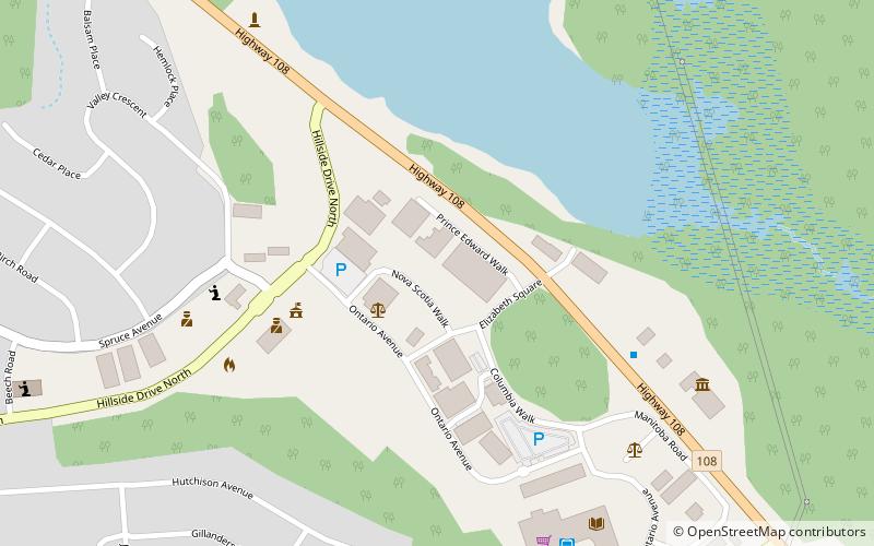
Algoma—Manitoulin—Kapuskasing is a federal electoral district in Ontario, Canada, that has been represented in the House of Commons of Canada since 2004. The area was represented by the riding of Algoma from 1867 to 1904 and from 1968 to 1996 and then by Algoma—Manitoulin from 1996 to 2004. ()
Coordinates: 46°23'10"N, 82°38'54"W
Address
Elliot Lake
ContactAdd
Social media
Add
Day trips
Algoma—Manitoulin—Kapuskasing – popular in the area (distance from the attraction)
Nearby attractions include: Elliot Lake Nuclear and Mining Museum.
