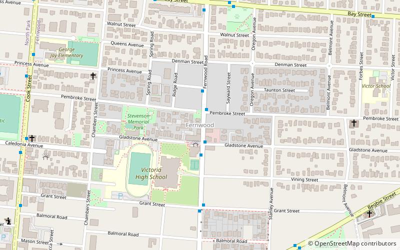
Fernwood, Victoria
Map
Facts and practical information
Fernwood is a neighbourhood near downtown Victoria, British Columbia, Canada, bounded by the neighbourhoods of North/South Jubilee, North Park, Fairfield, Rockland, Hillside-Quadra, Oaklands and Harris Green. ()
Coordinates: 48°25'52"N, 123°20'43"W
Address
FernwoodVictoria
ContactAdd
Social media
Add
Getting there by public transportation
Public transportation stops near this location
- Bus
 Bus
Bus
- Calculate routeFernwood at Pembroke 1 min walk
Day trips


Frequently Asked Questions (FAQ)
Which popular attractions are close to Fernwood?
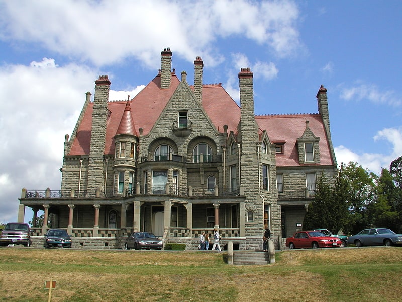
Nearby attractions include Belfry Theatre, Victoria (2 min walk), Theatre Inconnu, Victoria (2 min walk), Craigdarroch Castle, Victoria (15 min walk), St. John the Divine Anglican Church, Victoria (16 min walk).
How to get to Fernwood by public transport?
The nearest stations to Fernwood:
Bus
Bus
- Fernwood at Pembroke • Lines: 22 (1 min walk)