Castle Junction

Map
Facts and practical information
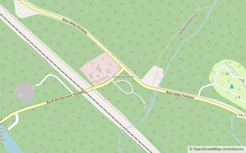
Castle Junction is a locality where the northern extent of the Banff–Windermere Highway intersects with the Trans-Canada Highway, the Bow River, and Bow Valley Parkway in Banff National Park, Alberta. It is named after the nearby Castle Mountain, clearly visible from the junction. The area is also referred to as Castle Mountain; however, the official location is approximately 1.6 km southwest of Castle Junction along the Canadian Pacific Railway. ()
Coordinates: 51°16'8"N, 115°55'6"W
Location
Alberta
ContactAdd
Social media
Add
Day trips
Castle Junction – popular in the area (distance from the attraction)
Nearby attractions include: Castle Mountain, Copper Mountain.

