James Bay, Victoria
Map
Map

Facts and practical information
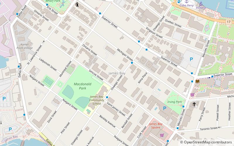
James Bay is a high density neighbourhood of Victoria, British Columbia, Canada. It is the oldest residential neighbourhood on the West coast of North America that is north of San Francisco. James Bay occupies the south side of the Inner Harbour close to downtown. Access to the neighbourhood is along Belleville Street, Government Street, Douglas Street and Dallas Road. ()
Coordinates: 48°25'6"N, 123°22'42"W
Address
James BayVictoria
ContactAdd
Social media
Add
Day trips
James Bay – popular in the area (distance from the attraction)
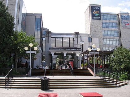
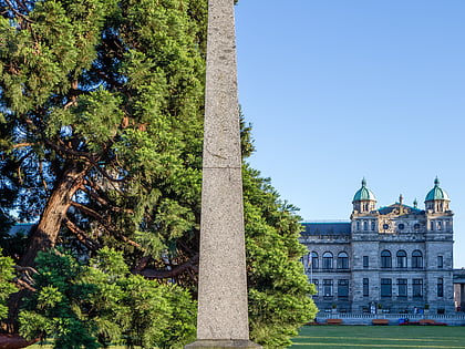
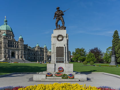
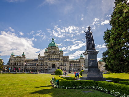
Nearby attractions include: Royal BC Museum, Douglas Obelisk, British Columbia Legislature Cenotaph, British Columbia Parliament Buildings.
Frequently Asked Questions (FAQ)
Which popular attractions are close to James Bay?
Nearby attractions include Fisherman's Wharf Park, Victoria (9 min walk), Victoria Centennial Fountain, Victoria (9 min walk), Black Ball Ferry Line, Victoria (10 min walk), British Columbia Search and Rescue Volunteer Memorial, Victoria (10 min walk).
How to get to James Bay by public transport?
The nearest stations to James Bay:
Bus
Ferry
Bus
- Oswego at Michigan • Lines: 2, 5 (2 min walk)
- Superior at Montreal • Lines: 2, 5 (6 min walk)
Ferry
- Victoria • Lines: Seattle-Victoria, Victoria - Port Angeles (10 min walk)

