Cache Creek landfill, Cache Creek

Map
Facts and practical information
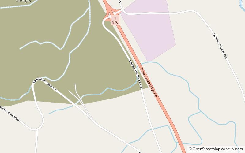
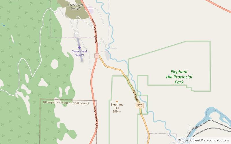
The Cache Creek landfill is a landfill in British Columbia, Canada. In 1989, Cache Creek became a landfill site for garbage shipped by truck from BC's Lower Mainland. It is permitted to receive up to 500,000 tonnes of municipal solid waste annually. ()
Coordinates: 50°47'16"N, 121°19'0"W
Address
Cache Creek
ContactAdd
Social media
Add
Day trips
Cache Creek landfill – popular in the area (distance from the attraction)
Nearby attractions include: Elephant Hill Provincial Park, Ashcroft, Nl'akapxm Eagle Motorplex.


