Noonan–Estevan Highway Border Crossing, Estevan

Gallery (1)
Map
Map
Facts and practical information
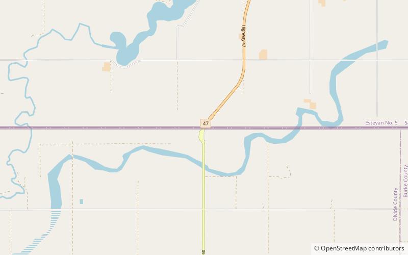
The Noonan–Estevan Highway Border Crossing connects the cities of Noonan, North Dakota and Estevan, Saskatchewan on the Canada–US border. It is reached by North Dakota Highway 40 on the American side and Saskatchewan Highway 47 on the Canadian side. The United States replaced its red brick border station with a ranch-style facility in the late 1960s, and then demolished that in favor of a large grey modern facility in 2012. Canada built its double-canopy border station in 1972. ()
Coordinates: 48°59'58"N, 103°0'18"W
Address
Estevan
ContactAdd
Social media
Add