Jacques-Cartier Massif

Map
Facts and practical information
The Lac Jacques-Cartier massif is the highest mountain range of the Laurentian Mountains range, in the Canadian province of Quebec. Located between the St. Lawrence River and the Saguenay graben, the altitude of its plateau varies between 800 and 900 meters while its highest point, Mount Raoul Blanchard, reaches 1,181 metres of altitude. ()
Coordinates: 47°23'2"N, 71°13'2"W
Location
Québec
ContactAdd
Social media
Add
Day trips
Jacques-Cartier Massif – popular in the area (distance from the attraction)
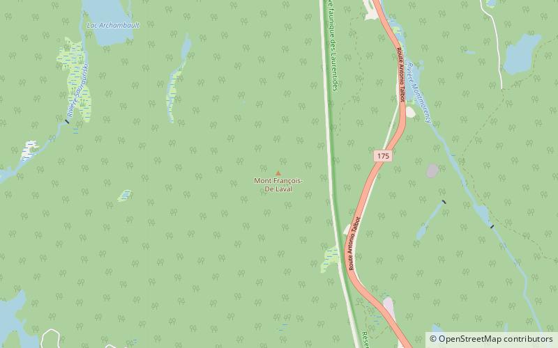
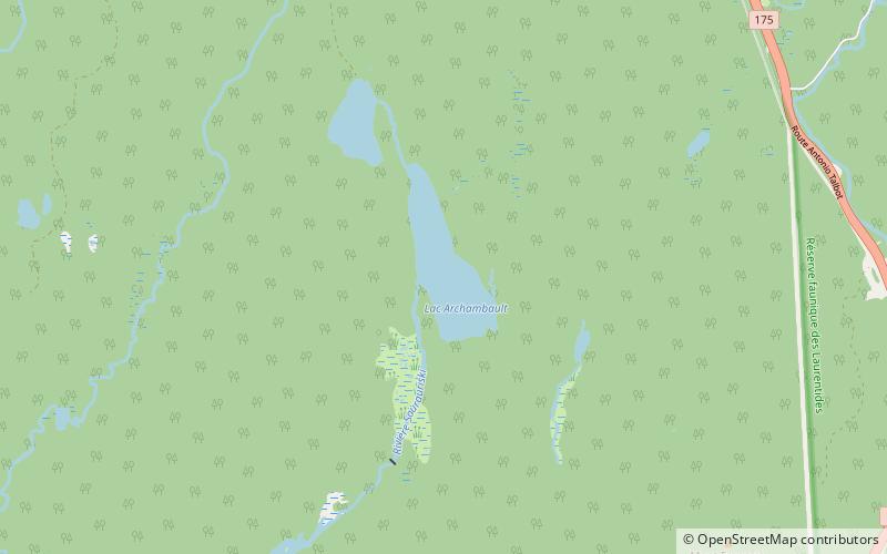
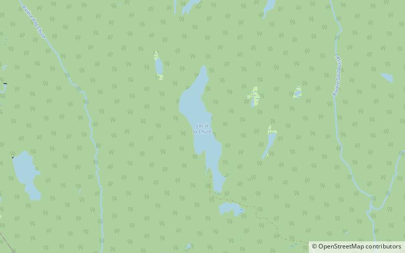
Nearby attractions include: Archambault Lake, Lac à la Chute, Fragasso Lake.


