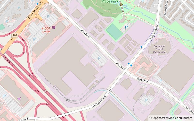
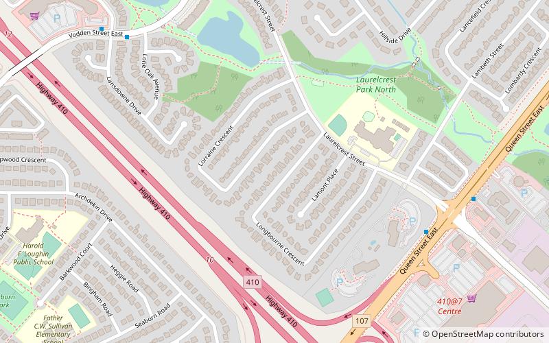
Brampton Centre, Brampton

Map
Facts and practical information
Brampton Centre is a federal electoral district in Ontario, Canada, that is represented in the House of Commons of Canada. This riding was created in 1996 from parts of Brampton riding and in 2013, Elections Canada redistributed 3 ridings in the city of Brampton to bring back Brampton Centre. This was primarily due to large population increases in the Greater Toronto Area, and Peel Region in particular. ()
Coordinates: 43°42'18"N, 79°43'48"W
Address
Queen Street CorridorBrampton
ContactAdd
Social media
Add
Day trips
Brampton Centre – popular in the area (distance from the attraction)
Nearby attractions include: Bramalea City Centre, Brampton Library, 10 Peel Centre Drive, Brampton—Springdale.
Frequently Asked Questions (FAQ)
Which popular attractions are close to Brampton Centre?
Nearby attractions include Brampton—Springdale, Brampton (16 min walk), 10 Peel Centre Drive, Brampton (22 min walk).
How to get to Brampton Centre by public transport?
The nearest stations to Brampton Centre:
Bus
Bus
- West Drive Züm Queen Station Eastboumd • Lines: 501 (10 min walk)
- Laurelcrest Zum Queen Station Westbound • Lines: 501 (10 min walk)


