Strathcona, Hamilton
Map
Map

Facts and practical information
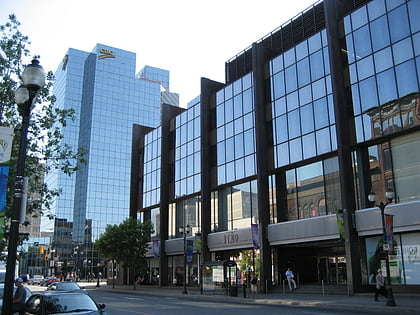
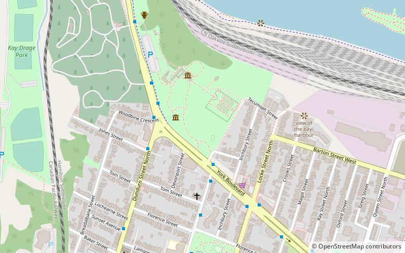
The Strathcona neighbourhood is located west of downtown Hamilton, Ontario, and is bounded by Highway 403, the CNR rail line, Queen Street, York Boulevard and Main Street. The neighbourhood is also intersected by several other major street arteries: Dundurn Street, Locke Street, and King Street West. As of the 2016 Census, Strathcona has a population of 6,555, up from 5,800 in the 1996 Census. ()
Coordinates: 43°16'4"N, 79°53'1"W
Address
StrathconaHamilton
ContactAdd
Social media
Add
Day trips
Strathcona – popular in the area (distance from the attraction)
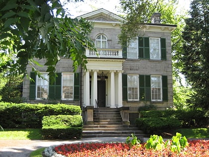
Nearby attractions include: FirstOntario Centre, Canadian Football Hall of Fame, Landmark, Dundurn Castle.
Frequently Asked Questions (FAQ)
Which popular attractions are close to Strathcona?
Nearby attractions include Dundurn Castle, Hamilton (3 min walk), Burlington Heights, Hamilton (6 min walk), Staircase Cafe Theatre, Hamilton (10 min walk), Hamilton Cemetery, Hamilton (12 min walk).
How to get to Strathcona by public transport?
The nearest stations to Strathcona:
Bus
Train
Bus
- King at Dundurn • Lines: 10, 16, 18, 18B, 18G, 1A, 40, 5, 51, 5C (12 min walk)
- King at Strathcona • Lines: 1A, 40, 5, 5C (12 min walk)
Train
- West Harbour (23 min walk)
- Hamilton GO Centre (32 min walk)


