Vancouver Island Trail, Victoria
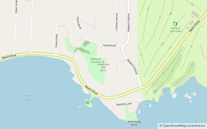
Map
Facts and practical information
The Vancouver Island Trail is a near-completed 800 km-long hiking trail stretching the length of Vancouver Island, from its southern terminus on Anderson Hill in Oak Bay, to its northern terminus in Cape Scott Provincial Park. The trail connects to various communities including Victoria, Lake Cowichan, Port Alberni and Cumberland, and connects along existing trails the Galloping Goose Regional Trail, Cowichan Valley Trail, Alberni Inlet Trail, the Great Trail and the North Coast Trail. ()
Coordinates: 48°24'46"N, 123°18'21"W
Address
South Oak BayVictoria
ContactAdd
Social media
Add
Day trips
Vancouver Island Trail – popular in the area (distance from the attraction)
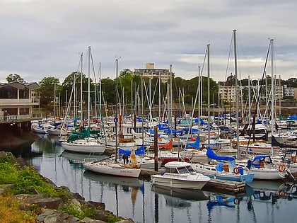
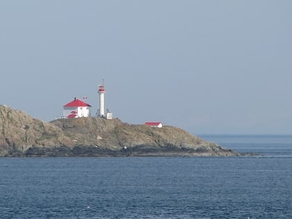
Nearby attractions include: Oak Bay Marina, Trial Islands Lighthouse, The Avenue Gallery, Trial Islands.
Frequently Asked Questions (FAQ)
Which popular attractions are close to Vancouver Island Trail?
Nearby attractions include South Oak Bay, Victoria (12 min walk), Oak Bay Marina, Victoria (22 min walk).
How to get to Vancouver Island Trail by public transport?
The nearest stations to Vancouver Island Trail:
Bus
Bus
- Central at Bynd • Lines: 1, 2 (7 min walk)
- Oak Bay Terminus • Lines: 1, 2 (10 min walk)
