Parkway, St. John's
Map
Map

Facts and practical information
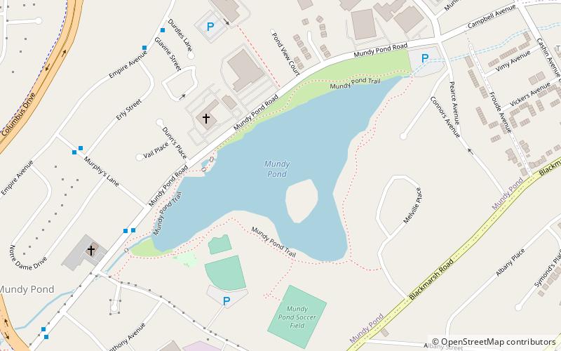
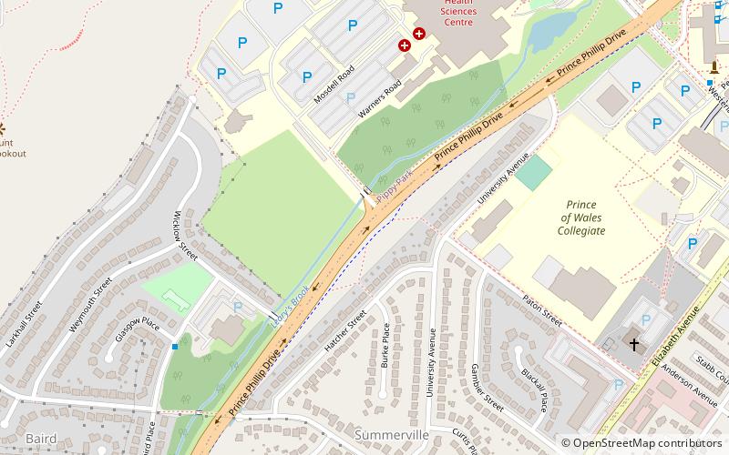
The Parkway is a major arterial road in the city of St. John's, Newfoundland and Labrador. It consists of three distinct roads that form a single through route: Columbus Drive, Prince Philip Drive, and Macdonald Drive. A four-lane limited-access road with a speed limit of 70 km/h along most of its length, the parkway begins at an intersection with Pitts Memorial Drive in the city's west end and terminates at Logy Bay Road in the east end. ()
Coordinates: 47°34'5"N, 52°44'39"W
Address
SummervilleSt. John's
ContactAdd
Social media
Add
Day trips
Parkway – popular in the area (distance from the attraction)
Nearby attractions include: Avalon Mall, Suncor Energy Fluvarium, St. Pius X Church, Memorial University of Newfoundland Botanical Garden.
Frequently Asked Questions (FAQ)
Which popular attractions are close to Parkway?
Nearby attractions include Memorial University of Newfoundland, St. John's (16 min walk), Memorial University of Newfoundland Botanical Garden, St. John's (16 min walk), Rabbittown, St. John's (21 min walk), Arts and Culture Centre, St. John's (22 min walk).


