Rideau Heights, Kingston
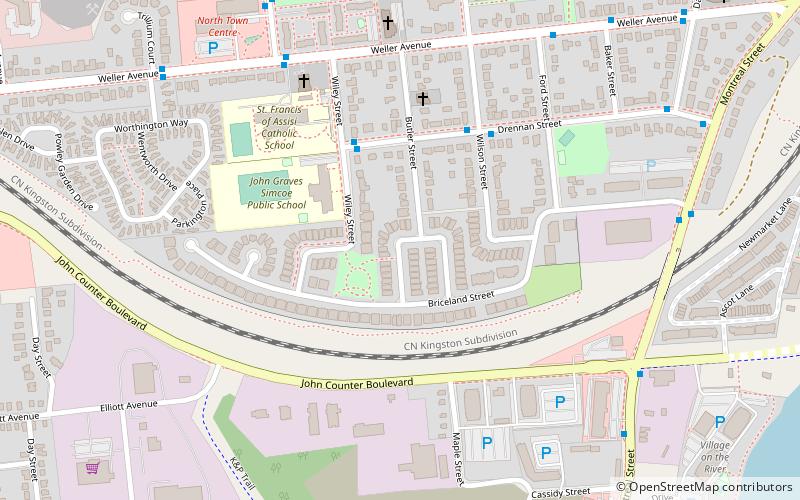
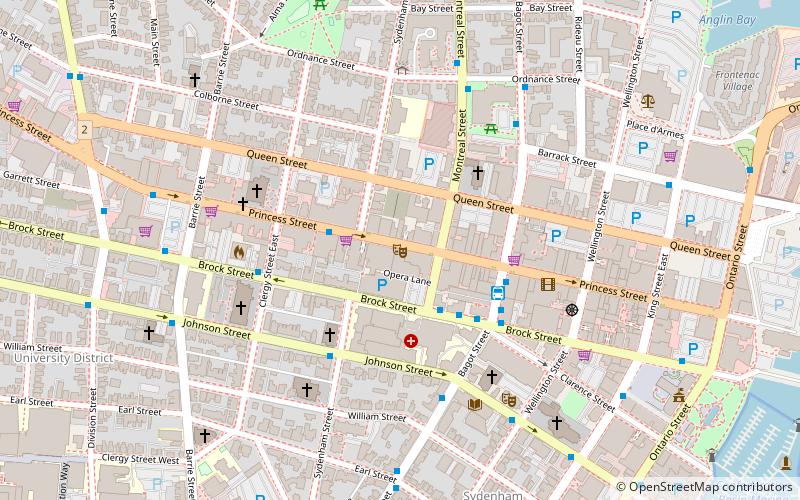
Map
Facts and practical information
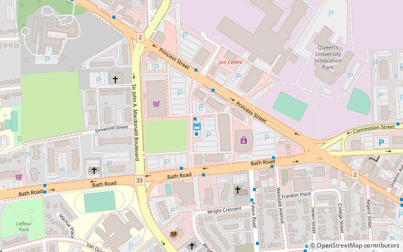
Rideau Heights is a 32-hectare area in northern Kingston, Ontario consisting primarily of row-housing and low-rise apartment buildings. The area is physically isolated and economically disadvantaged. Kingston's Housing Authority has identified Rideau Heights as a pilot project for improving the area with the intent of applying the lessons learned to other social housing sites throughout the city. ()
Coordinates: 44°15'32"N, 76°29'17"W
Address
Rideau HeightsKingston
ContactAdd
Social media
Add
Day trips
Rideau Heights – popular in the area (distance from the attraction)
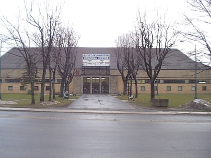
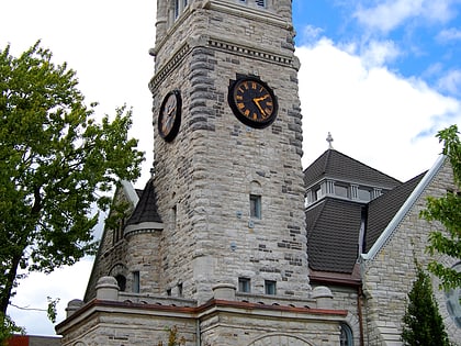
Nearby attractions include: Rogers K-Rock Centre, Kingston Memorial Centre, St. George's Cathedral, Kingston City Hall.

