Cataraqui Trail, Smiths Falls
Map

Map

Facts and practical information
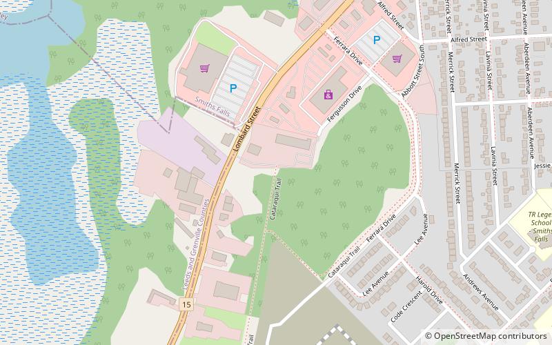
The Cataraqui Trail is a 104-km Rails-to-Trails multi-use linear recreational trail in Eastern Ontario, Canada. The route passes by farmland, woods, lakes, and wetlands. The trail begins southwest of Smiths Falls, at a parking lot south of Ontario Highway 15 designated as kilometre zero. ()
Season: All yearCoordinates: 44°53'24"N, 76°1'50"W
Address
Smiths Falls
ContactAdd
Social media
Add
Day trips
Cataraqui Trail – popular in the area (distance from the attraction)
Nearby attractions include: Railway Museum of Eastern Ontario.

