Peacekeeper Park, Calgary
Map
Map

Facts and practical information
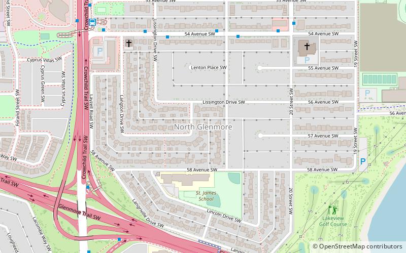
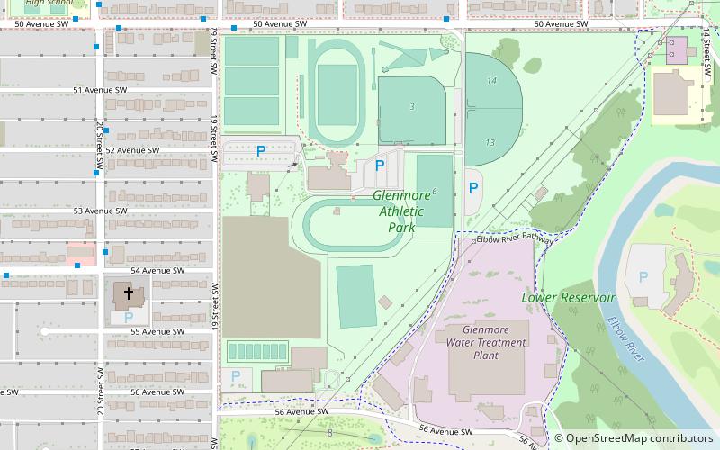
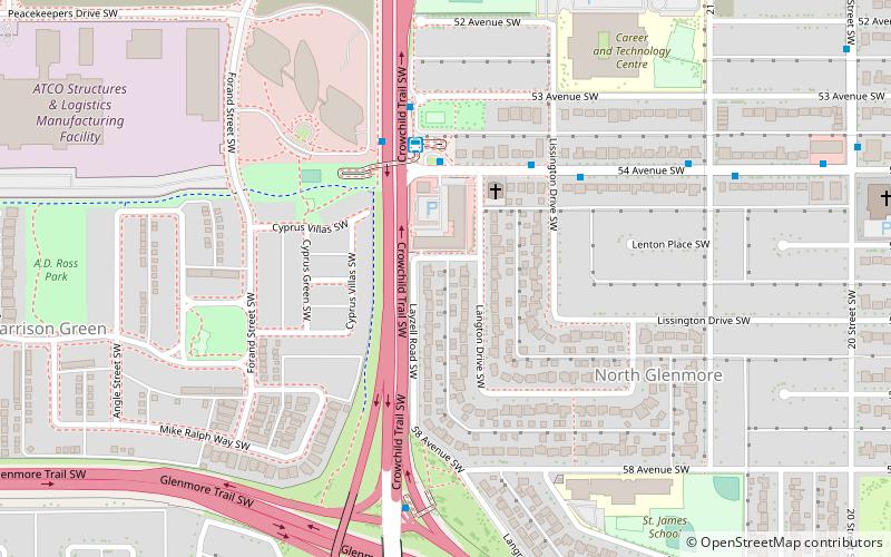
Peacekeeper Park is an urban park in Calgary, Alberta. The park is located in the neighbourhood of North Glenmore, on the former grounds of Canadian Forces Base Calgary. The park includes a memorial wall with the names of Canadian Forces members who have given their lives on peacekeeping and peace support missions with the United Nations, NATO and other organizations since the end of the Second World War, including the current mission in Afghanistan. ()
Created: 2004Elevation: 3622 ft a.s.l.Coordinates: 51°0'13"N, 114°7'1"W
Address
Southwest Calgary (North Glenmore)Calgary
ContactAdd
Social media
Add
Day trips
Peacekeeper Park – popular in the area (distance from the attraction)
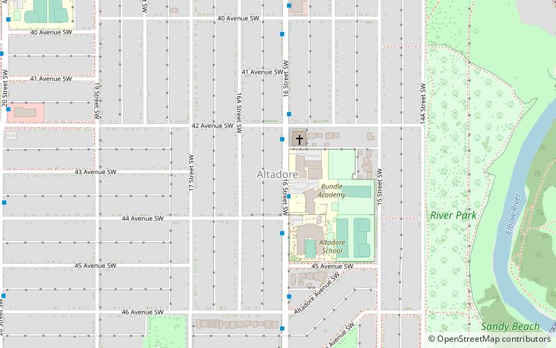
Nearby attractions include: The Military Museums, Lakeview Golf Course, Mount Royal University, Altadore.
Frequently Asked Questions (FAQ)
Which popular attractions are close to Peacekeeper Park?
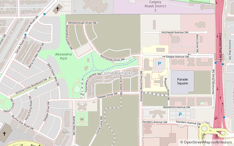
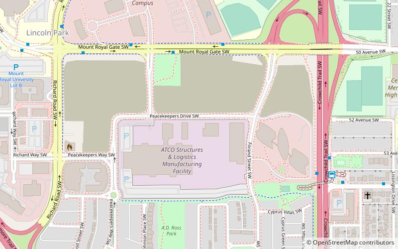
Nearby attractions include North Glenmore, Calgary (5 min walk), CFB Lincoln Park PMQ, Calgary (9 min walk), The Military Museums, Calgary (19 min walk), Mount Royal University, Calgary (22 min walk).
How to get to Peacekeeper Park by public transport?
The nearest stations to Peacekeeper Park:
Bus
Bus
- 54 Avenue & Crowchild Trail SW • Lines: 7 (3 min walk)
- 54 Avenue SW • Lines: 182, 20, 306, 72, 73 (4 min walk)


