Garneau, Edmonton
Map

Map

Facts and practical information
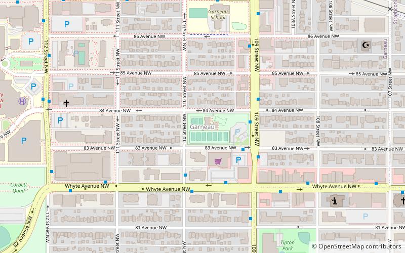
Garneau is one of the oldest neighbourhoods in the city of Edmonton, Canada. Prior to 1912, it was part of the City of Strathcona. It is named after one of its first inhabitants, Laurent Garneau, a former Manitoba Métis rebel and Hudson's Bay Company employee who with his wife and family settled there around 1874. ()
Area: 205.1 acres (0.3205 mi²)Coordinates: 53°31'11"N, 113°30'51"W
Address
South Central Edmonton (Garneau)Edmonton
ContactAdd
Social media
Add
Day trips
Garneau – popular in the area (distance from the attraction)
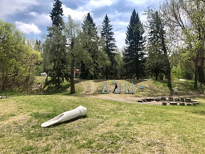
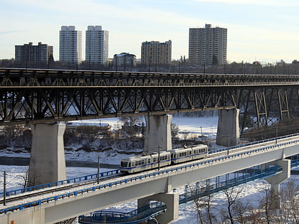
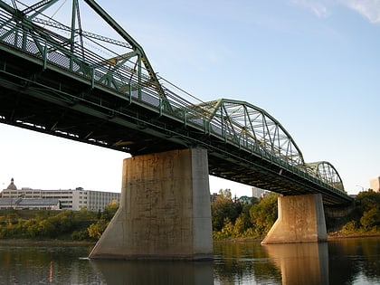
Nearby attractions include: Indigenous Art Park, Dudley B. Menzies Bridge, Princess Theatre, Metro Cinema.
Frequently Asked Questions (FAQ)
Which popular attractions are close to Garneau?
Nearby attractions include University of Alberta, Edmonton (13 min walk), Bibliothèque Saint-Jean, Edmonton (14 min walk), Rutherford Library, Edmonton (14 min walk), Rutherford House, Edmonton (14 min walk).
How to get to Garneau by public transport?
The nearest stations to Garneau:
Bus
Light rail
Bus
- 82 Ave & 110 Street • Lines: 4, 637, 7 (3 min walk)
- Whyte Ave & 108 Street • Lines: 4, 637, 7 (6 min walk)
Light rail
- Health Sciences/Jubilee • Lines: 501, 502 (13 min walk)
- University • Lines: 501, 502 (13 min walk)


