The Bog, Charlottetown

Map
Facts and practical information
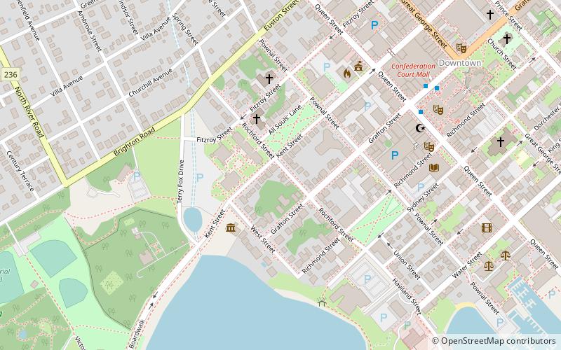
The Bog is a former neighbourhood in Charlottetown, Prince Edward Island, Canada. The community was settled in the early 19th century by Black slaves who had been brought to the colony by their Loyalist owners after the American Revolutionary War. The neighbourhood was bounded by Euston, Pownal, Richmond, and West streets, and by Government Pond. The neighbourhood was demolished for a redevelopment project in the early 20th century. ()
Coordinates: 46°13'59"N, 63°7'55"W
Address
Downtown CharlottetownCharlottetown
ContactAdd
Social media
Add
Day trips
The Bog – popular in the area (distance from the attraction)
Nearby attractions include: Charlottetown Boulder Park, Province House, St. Dunstan's Basilica, Confederation Centre of the Arts.
Frequently Asked Questions (FAQ)
Which popular attractions are close to The Bog?
Nearby attractions include All Souls' Chapel, Charlottetown (2 min walk), St. Peter's Cathedral, Charlottetown (3 min walk), Prince Edward Island Museum & Heritage Foundation, Charlottetown (3 min walk), Charlottetown City Hall, Charlottetown (5 min walk).


