South Westminster, Surrey

Gallery (1)
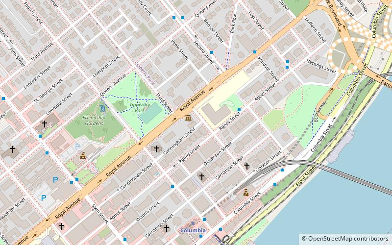
Map

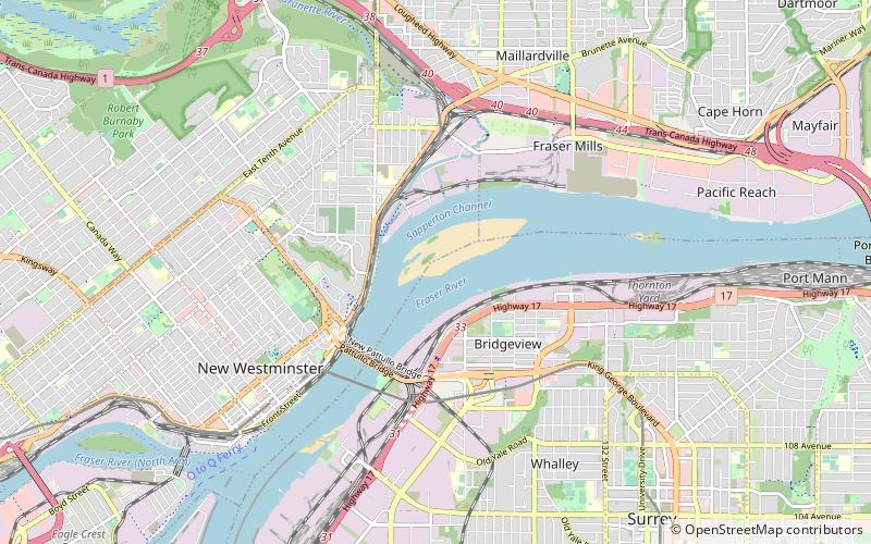
Map
Facts and practical information
South Westminster is an industrial neighbourhood in the Whalley town centre of Surrey, British Columbia, Canada, located on the Fraser River south of the city of New Westminster. ()
Coordinates: 49°11'58"N, 122°52'57"W
Address
Whalley (South Westminster)Surrey
ContactAdd
Social media
Add
Getting there by public transportation
Public transportation stops near this location
- Metro
- Bus
 Metro
Metro
- Calculate routeScott Rd at Old Yale Rd 3 min walk
- Calculate route111A Ave at 12300 Block 12 min walk
- Calculate routeScott Road 14 min walk
- Calculate routeColumbia 29 min walk
Day trips


Frequently Asked Questions (FAQ)
Which popular attractions are close to South Westminster?
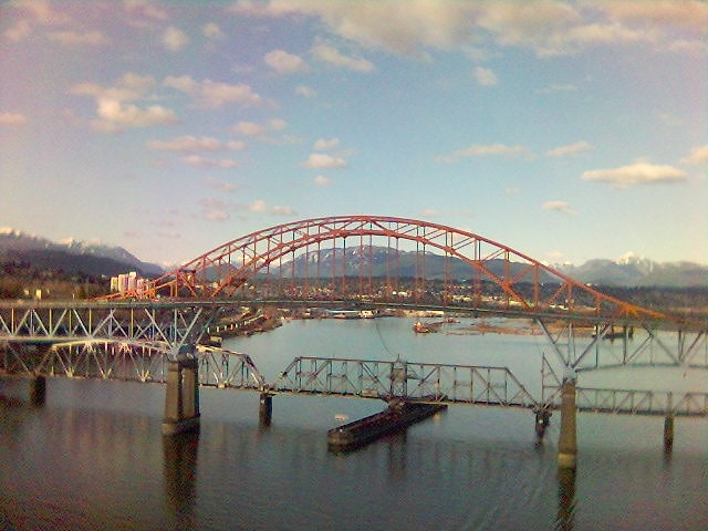
Nearby attractions include Skybridge, Surrey (19 min walk), New Westminster Bridge, Surrey (20 min walk), Pattullo Bridge, New Westminster (21 min walk).
How to get to South Westminster by public transport?
The nearest stations to South Westminster:
Bus
Metro
Bus
- Scott Rd at Old Yale Rd • Lines: 312, 319, 640 (3 min walk)
- 111A Ave at 12300 Block • Lines: 371 (12 min walk)
Metro
- Scott Road • Lines: Expo Line (14 min walk)
- Columbia • Lines: Expo Line (29 min walk)