Lawson Heights, Saskatoon
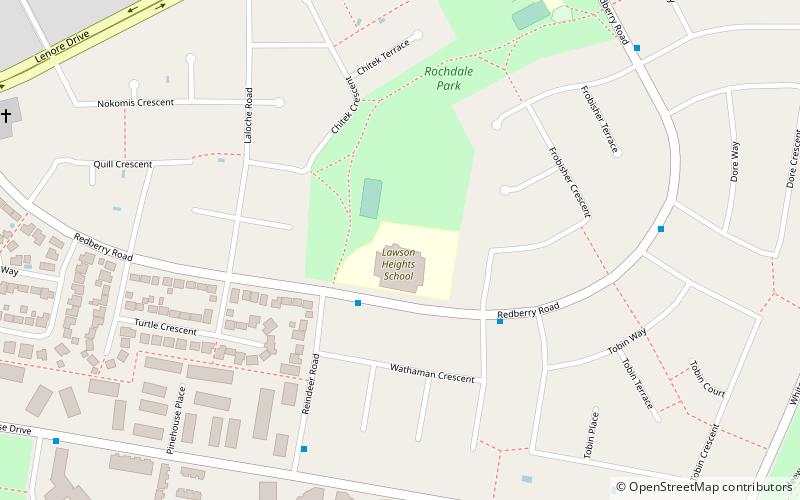
Map

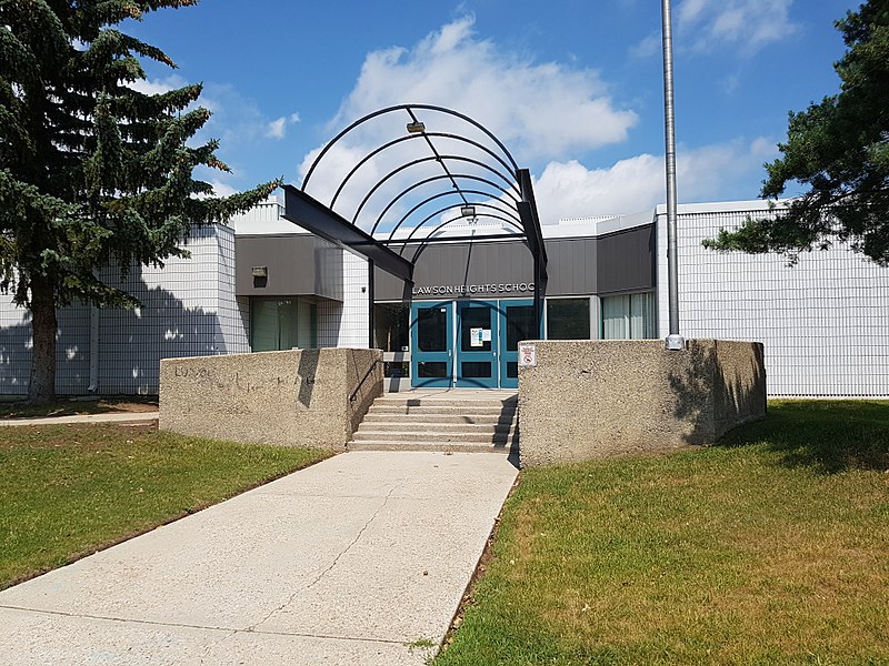
Gallery

Facts and practical information
Lawson Heights is a residential neighbourhood located in northern Saskatoon, Saskatchewan, which was developed beginning in the late 1970s. ()
Area: 0.57 mi²Coordinates: 52°10'16"N, 106°37'10"W
Address
Lawson (Lawson Heights)Saskatoon
ContactAdd
Social media
Add
Day trips
Lawson Heights – popular in the area (distance from the attraction)
Nearby attractions include: Preston Crossing, Forestry Farm Park and Zoo, Circle Drive Bridge, Chief Mistawasis Bridge.
Frequently Asked Questions (FAQ)
Which popular attractions are close to Lawson Heights?
Nearby attractions include Lawson Heights Suburban Centre, Saskatoon (1 min walk), Lawson SDA, Saskatoon (1 min walk).
How to get to Lawson Heights by public transport?
The nearest stations to Lawson Heights:
Bus
Bus
- Redberry Road & Reindeer Road • Lines: 13 (2 min walk)
- Reindeer Road & Pinehouse Drive • Lines: 13 (6 min walk)


