McGill University Institute of Islamic Studies, Montreal
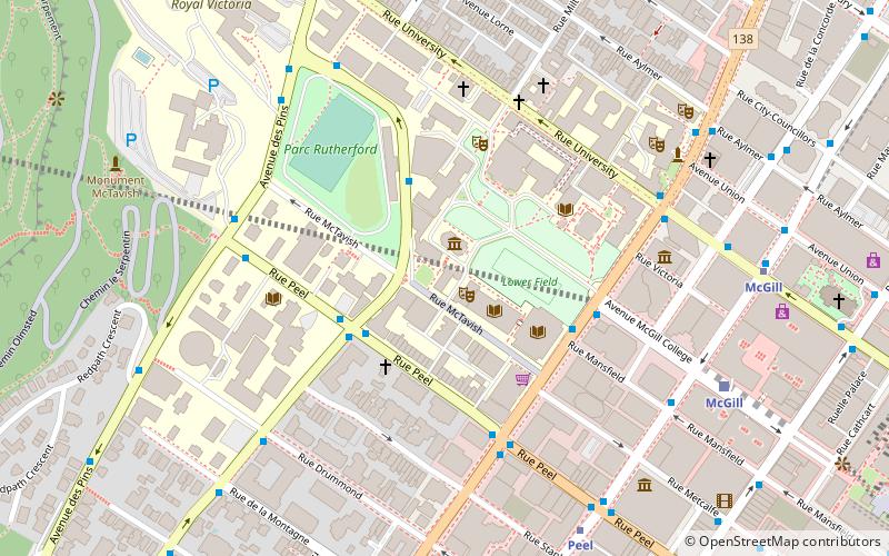
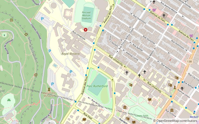
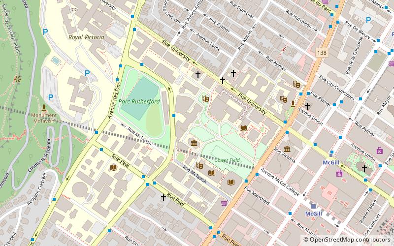
Map
Facts and practical information
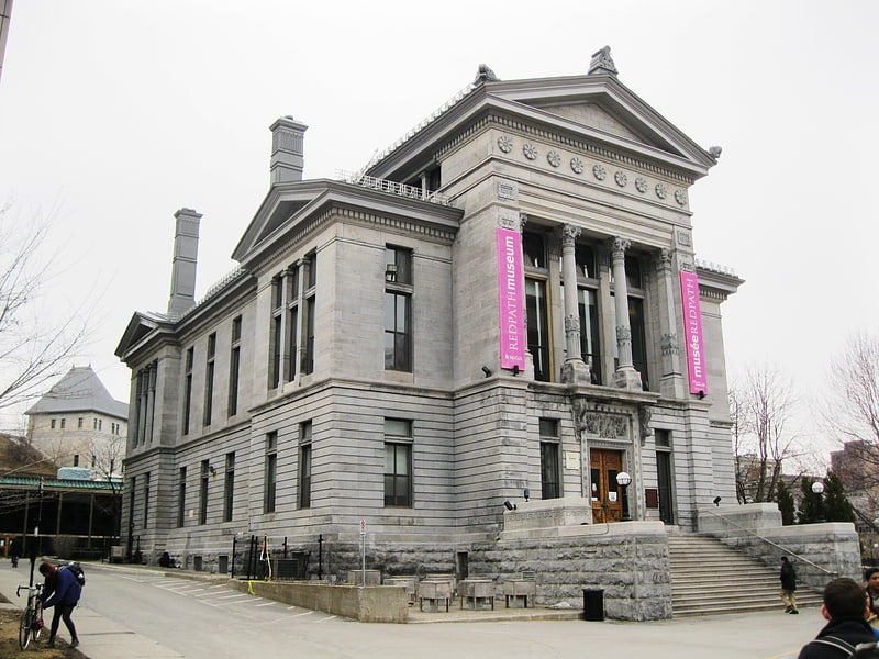
The McGill University Institute of Islamic Studies and the Islamic Studies Library were established in 1952 by Wilfred Cantwell Smith, and since 1983 both have been housed in Morrice Hall on McGill's campus in downtown Montreal, Quebec. McGill's institute is the first institute of Islamic studies in North America and hosts 14 full-time professors, 5 visiting positions and 5 professors emeritus. ()
Coordinates: 45°30'14"N, 73°34'40"W
Address
Ville-Marie DistrictMontreal
ContactAdd
Social media
Add
Getting there by public transportation
Public transportation stops near this location
- Metro
- Bus
- Train
 Metro
Metro
- Calculate routedu Docteur-Penfield / Réservoir McTavish 3 min walk
- Calculate routePeel / du Docteur-Penfield 3 min walk
- Calculate routedu Docteur-Penfield / Peel 3 min walk
- Calculate routeSherbrooke / Mansfield 4 min walk
- Calculate routePeel 7 min walk
- Calculate routeMcGill 8 min walk
- Calculate routePlace-des-Arts 14 min walk
- Calculate routeGuy-Concordia 16 min walk
- Calculate routeMontreal Central Station 15 min walk
- Calculate routeLucien-L'Allier 19 min walk
Maps Metro
Metro
MetroDay trips
McGill University Institute of Islamic Studies – popular in the area (distance from the attraction)
Nearby attractions include: McCord Museum, Redpath Museum, Montreal Eaton Centre, Montreal Eaton Centre.


Frequently Asked Questions (FAQ)
Which popular attractions are close to McGill University Institute of Islamic Studies?
Nearby attractions include Islamic Studies Library, Montreal (1 min walk), Redpath Hall, Montreal (1 min walk), McTavish Street, Montreal (1 min walk), Redpath Museum, Montreal (1 min walk).
How to get to McGill University Institute of Islamic Studies by public transport?
The nearest stations to McGill University Institute of Islamic Studies:
Bus
Metro
Train
Bus
- du Docteur-Penfield / Réservoir McTavish • Lines: 107-N, 144-E (3 min walk)
- Peel / du Docteur-Penfield • Lines: 107-N, 107-S (3 min walk)
Metro
- Peel • Lines: 1 (7 min walk)
- McGill • Lines: 1 (8 min walk)
Train
- Montreal Central Station (15 min walk)
- Lucien-L'Allier (19 min walk)