Hamilton Centre, Hamilton
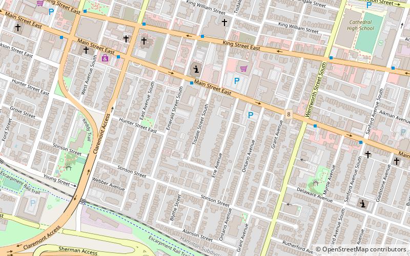
Map
Facts and practical information
Hamilton Centre is a federal electoral district in Hamilton, Ontario, Canada, that has been represented in the House of Commons of Canada since 2004. ()
Coordinates: 43°15'0"N, 79°51'14"W
Address
StinsonHamilton
ContactAdd
Social media
Add
Getting there by public transportation
Public transportation stops near this location
- Bus
- Train
 Bus
Bus
- Calculate routeMain at Wentworth 6 min walk
- Calculate routeKing at Wellington 9 min walk
- Calculate routeHamilton GO Centre 21 min walk
- Calculate routeWest Harbour 34 min walk
Day trips


Frequently Asked Questions (FAQ)
Which popular attractions are close to Hamilton Centre?
Nearby attractions include First Place Hamilton, Hamilton (9 min walk), Wellington Park, Hamilton (9 min walk), International Village BIA, Hamilton (13 min walk), Beasley Park, Hamilton (18 min walk).
How to get to Hamilton Centre by public transport?
The nearest stations to Hamilton Centre:
Bus
Train
Bus
- Main at Wentworth • Lines: 10, 1A (6 min walk)
- King at Wellington • Lines: 10, 1A (9 min walk)
Train
- Hamilton GO Centre (21 min walk)
- West Harbour (34 min walk)