Clovelly Trails, St. John's

Map
Facts and practical information
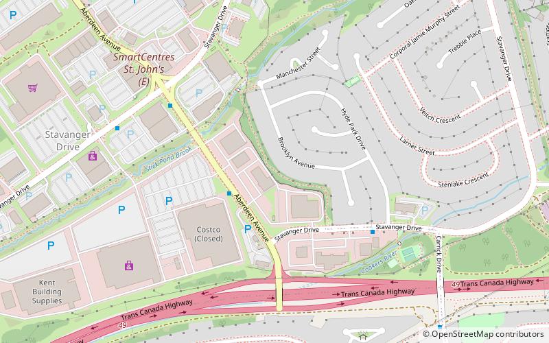
Clovelly Trails is a neighbourhood located in the northeast end of St. John's, Newfoundland and Labrador. ()
Coordinates: 47°36'56"N, 52°42'42"W
Address
Stavanger DriveSt. John's
ContactAdd
Social media
Add
Day trips
Clovelly Trails – popular in the area (distance from the attraction)
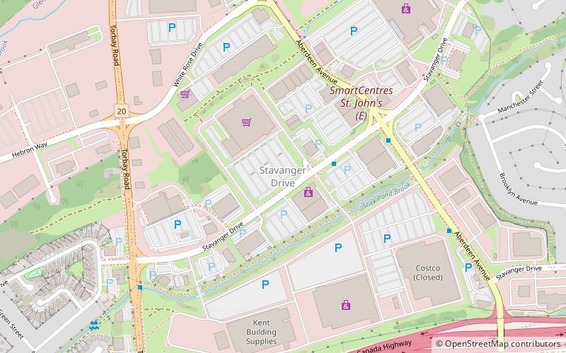
Nearby attractions include: Masjid-an-Noor, St. John's Hindu Temple, Stavanger Drive Shopping Area, Signal Hill-Quidi Vidi.
Frequently Asked Questions (FAQ)
Which popular attractions are close to Clovelly Trails?
Nearby attractions include Stavanger Drive Shopping Area, St. John's (8 min walk), St. John's Hindu Temple, St. John's (24 min walk).


