Goose Village, Montreal
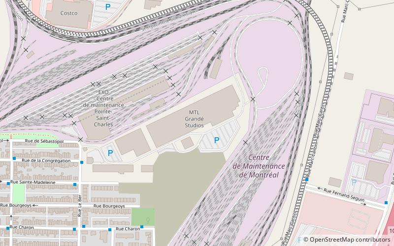
Map
Facts and practical information
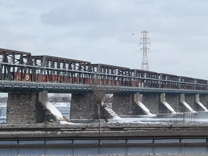
Goose Village was a neighbourhood in Montreal, Quebec, Canada. Its official but less commonly used name was Victoriatown, after the adjacent Victoria Bridge. The neighbourhood was built on an area formerly known as Windmill Point, where thousands of Irish immigrants died from disease in 1847 and 1848. The entire neighborhood was demolished in 1964 as part of preparations for Expo 67, to be replaced by a football stadium and parking lot. ()
Coordinates: 45°28'57"N, 73°32'53"W
Address
Le Sud-QuestMontreal
ContactAdd
Social media
Add
Day trips
Goose Village – popular in the area (distance from the attraction)
Nearby attractions include: Bell Centre, Maison Saint-Gabriel, Time Supper Club, Place Bonaventure.
Frequently Asked Questions (FAQ)
Which popular attractions are close to Goose Village?
Nearby attractions include Pointe-Saint-Charles, Montreal (7 min walk), Irish Commemorative Stone, Montreal (8 min walk), Maison Saint-Gabriel, Montreal (15 min walk), Wellington Street, Montreal (18 min walk).
How to get to Goose Village by public transport?
The nearest stations to Goose Village:
Bus
Metro
Train
Bus
- Charon / Dick-Irvin • Lines: 57-E, 71-N (7 min walk)
- Le Ber / de la Congrégation • Lines: 57-E, 71-N (7 min walk)
Metro
- Charlevoix • Lines: 1 (28 min walk)
- LaSalle • Lines: 1 (31 min walk)
Train
- Lucien-L'Allier (36 min walk)
 Metro
Metro

