Old Kildonan, Winnipeg
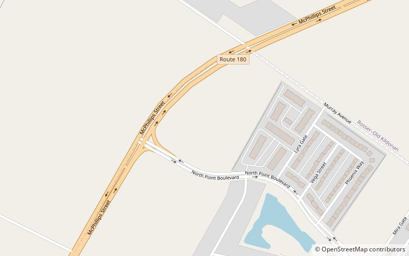
Map
Facts and practical information
Old Kildonan is the northernmost city ward of Winnipeg, Manitoba. Before the City of Winnipeg Act of 1972, it was an independent unincorporated municipality called the Municipality of Old Kildonan; prior to that, from 1914, it was a subdivision of the Rural Municipality of Kildonan. ()
Area: 8.25 mi²Coordinates: 49°58'0"N, 97°7'60"W
Address
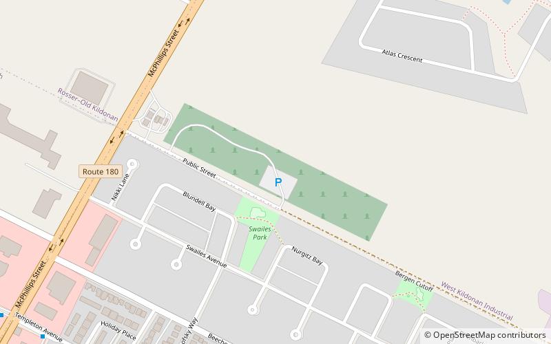
Seven Oaks (West Kildonan Industrial)Winnipeg
ContactAdd
Social media
Add
Getting there by public transportation
Public transportation stops near this location
- Bus
 Bus
Bus
- Calculate routeNorthbound Garden Park at Beecher 20 min walk
- Calculate routeSouthbound Garden Park at Beecher 20 min walk
- Calculate routeEastbound Templeton at McPhillips 22 min walk
Day trips


Frequently Asked Questions (FAQ)
How to get to Old Kildonan by public transport?
The nearest stations to Old Kildonan:
Bus
Bus
- Northbound Garden Park at Beecher • Lines: 32, 38 (20 min walk)
- Southbound Garden Park at Beecher • Lines: 32, 38 (20 min walk)