Lac Beauchamp Park, Gatineau
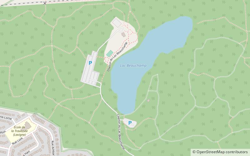
Map
Facts and practical information
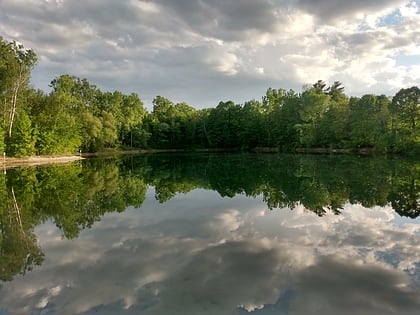
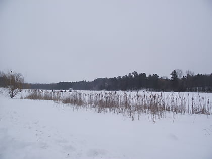
Lac Beauchamp Park in Gatineau, Quebec, Canada is a large wooded park of 172 hectares built around a small lake in the middle of the suburban sprawl of the eastern part of the city. In the winter it has 15 km of ski and snowshoe trails. The lake also has a skating area. In the summer, the lake has a supervised swimming beach and canoe rentals. The ski trails are then used by amateur naturalists, hikers and bikers. ()
Elevation: 180 ft a.s.l.Coordinates: 45°29'22"N, 75°37'21"W
Address
Quartier du lac-BeauchampGatineau
ContactAdd
Social media
Add
Day trips
Lac Beauchamp Park – popular in the area (distance from the attraction)
Nearby attractions include: Canada Aviation and Space Museum, Les Promenades Gatineau, Sand Pits Lake, Vintage Wings of Canada.
Frequently Asked Questions (FAQ)
Which popular attractions are close to Lac Beauchamp Park?
Nearby attractions include Lac Beauchamp, Gatineau (3 min walk), Lac-Beauchamp District, Gatineau (10 min walk).
How to get to Lac Beauchamp Park by public transport?
The nearest stations to Lac Beauchamp Park:
Bus
Bus
- Terminus Labrosse • Lines: 18 (26 min walk)
- Station Rapibus Labrosse (26 min walk)
